Blease Fell & Hare Shaw from Tebay
Howgills Walk
Region - Howgills
County/Area - Cumbria - Howgill Fells
Author - Lou Johnson
Length - 5.7 miles / 9.3 km Ascent - 920 feet / 279 metres
Time - 3 hours 50 minutes Grade - easy/mod
Maps 

| Ordnance Survey Explorer OL19 | Sheet Map | 1:25k | BUY |
| Anquet OS Explorer OL19 | Digital Map | 1:25k | BUY |
Walk Route Description
Click image to see photo description.
The Howgill Fells are one of my favourite places to walk, inspired by Wainwright's book that detailed a number of walks on these rolling hills. This route is not too demanding with relatively easy gradients compensated by some good views. One word of warning is that in poor visibility the Howgills can be a confusing place to walk with many interlinked ridges and a general lack of landmarks. Always take a 1:25000 map and make sure you know exactly where you are just in case the cloud descends.
The start is Mount Pleasant on the eastern side of Tebay where roadside parking is available (grid ref. NY618044). After parking leave the A685 and take the minor road to Gaisgill heading east. A short distance take the tarmac lane on your right leading to Edge Farm. At the first fork bear right and continue to a second fork. Again, go right and continue towards High Woodend Farm. At the third fork bear left off the farm access track and continue climbing on a clear track to reach Tebaygill cottage (grid ref. NY619036).
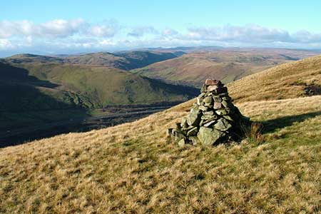
Continue straight ahead past the cottage and, with the wall on your left, follow am ascending track (indistinct in places) to reach the wall corner (grid ref. NY619033). From here you need to take with navigation following a generally rising path heading almost due south aiming initially for the minor hill of Powson Knott (grid ref. NY619021). Continue on a rising path, with a good view across to Borrowdale on your right, following the ridge south to the 411m spot height on OS maps. From here continue in the same southerly direction to the summit of Blease Fell (grid ref. NY623004). The best view is not from the highest ground but from a cairn s short distance south where a grand view of the Lune Valley can be enjoyed.
The onward route takes us around Tebaygill Head and onto Hare Shaw. In clear weather this section is quite straightforward providing you head just east of north keeping the Tebaygill valley on your immediate left. As you get nearer to the summit of Hare Shaw a clearer path begins to develop and the summit is marked by a small cairn (grid ref. NY627012). Leaving Hare Shaw continue on a clearer path heading just east of north to follow a clear ridge leading to the Knott (grid ref. NY630022).
Following the path north continue onto Weather Hill (grid ref. NY630031) which only just rises above the moorland. The path keeps to the left of the highest ground and heads down towards Waskew Head. I did lose the path but made a beeline for Waskew Head. Bear left onto the farm access track and continue over Tebaygill (grid ref. NY621039) to re-join the outward route. Retrace your steps downhill to the start.
Other walks nearby
| Walk 3385 | Carlingill Beck, Black Force & Whin's End | mod/hard | 6.5 miles |
| Walk 1616 | Bowderdale and the Calf | moderate | 10.0 miles |
| Walk 3453 | Whinfell Beacon & Borrowdale | moderate | 8.4 miles |
| Walk 1342 | Randygill Top from Weasdale | moderate | 6.0 miles |
| Walk 3007 | Fell Head & The Calf from Howgill | moderate | 7.5 miles |
| Walk 2458 | Winder, The Calf & Fell Head | moderate | 9.8 miles |
| Walk 3006 | Cautley Spout & The Calf | moderate | 5.5 miles |
| Walk 1393 | Yarlside | moderate | 4.0 miles |
| Walk 1387 | Cautley Spout | easy | 2.0 miles |
| Walk 2253 | Uldale Falls & Wandale | moderate | 8.5 miles |
Recommended Books & eBooks
The Cumbria Way
 A guidebook to the 73 mile Cumbria Way, an easy long-distance walk though the heart of the Lake District National Park, from Ulverston in the south to Carlisle in the north, with good transport links to either end. The route is largely low-level but this guide offers alternative mountain days to climb some of the famous fells en route.
More information
Walking the Lake District Fells - Mardale and the Far East
 Part of the Walking the Lake District Fells series, this guidebook covers a wide range of routes to 36 Lakeland summits that can be climbed from the Ullswater, Haweswater, Troutbeck, Kentmere and Longsleddale valleys, with highlights including High Street, Place Fell and the Kentmere fells. Suggestions for longer ridge routes are also included.
More information
Messaging & Social Media
Message Walking Britain and follow the latest news.

Mountain Weather
Stay safe on the mountains with detailed weather forecasts - for iOS devices or for Android devices.