Holkham Park circular
Norfolk Walk
County/Area - Norfolk
Author - Lou Johnson
Length - 4.5 miles / 7.3 km Ascent - 340 feet / 103 metres
Time - 2 hours 40 minutes Grade - easy
Maps 

| Ordnance Survey Explorer 251 | Sheet Map | 1:25k | BUY |
| Anquet OS Explorer 251 | Digital Map | 1:25k | BUY |
| Ordnance Survey Landranger 132 | Sheet Map | 1:50k | BUY |
| Anquet OS Landranger 132 | Digital Map | 1:50k | BUY |
Walk Route Description
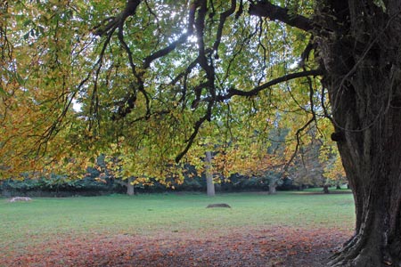
Click image to visit gallery of 6 images.
This short walk explores some of the features of Holkham Park and provides an opportunity to see the large Hall built by the Earl of Leicester in the 18th century. If you are lucky you will also see the large herds of deer that graze in the park. Toilets and cafés are open in Holkham village on most days of the year.
The start is the parking area (Grid ref. TF891440) Lady Ann's Drive, parking fee payable, which leads off the A149 to Holkham Gap. After parking return to the main road and cross the A149 into Holkham village, built as homes for the workers on the Estate. Walk up the main drive to the fine arched gateway into Holkham Park. Once through the gate, turn first left and follow the track through trees. Reaching a junction (Grid ref. TF987432), turn sharp right and walk through pleasant parkland towards the Hall.
Go through the car park towards the lake. Bear left before the lake and walk round to the front of the Hall, which is set in landscaped parkland designed on a grand scale. The house is constructed from brick, which at the time was more expensive than stone! After having enjoyed the front of the Hall, retrace your steps across the grass and walk along the southern end of the lake, which should be on your right. There is a clear signed path with information boards and this should be followed around the lake, which should always be on your right.
Continue around the northern end of the lake. Take the broad grassy path leading to the tall column. This is marked at the Monument on OS maps. Built to commemorate the work of a former the Earl of Leicester in agricultural reform there are some interesting features to enjoy. From the column retrace your steps a few metres and then turn right and follow the clear path through the trees, Staithe Wood, to reach the gateway used at the beginning of the walk. Go through this and walk through the estate village of Holkham, with its shops and cafés, back to the main road. Cross the main road into Land Ann's Drive and your car.
Note - It is worth noting that there is an excellent bus service operating along the A149 coast road between Sheringham and Kings Lynn. Operated by Norfolk County Council, this 'Coast Hopper' service is useful for many walks as the bus route shadows the Norfolk Coast Path. This enables one way walks to be undertaken with relative ease but also means that other walks can be altered to suit your needs.
Other walks nearby
| Walk 3254 | Holkham & Holkham Park Circular | moderate | 10.2 miles |
| Walk 2081 | Holkham Gap and West Beach from Wells-next-the-Sea | easy | 4.0 miles |
| Walk 1035 | Burnham Market | easy | 5.5 miles |
| Walk 1600 | Morston Salt Marshes from Morston Quay | easy | 2.5 miles |
| Walk 2307 | Blakeney from Morston Quay | easy | 2.0 miles |
| Walk 3732 | Morston, Blakeney & Cley next the Sea | easy | 4.0 miles |
| Walk 3514 | Brancaster to Burnham Overy Staithe | easy | 6.0 miles |
| Walk 1804 | Blakeney & Cley next the Sea | easy | 5.0 miles |
| Walk 3256 | Great Bircham & Fring Circular | easy/mod | 8.4 miles |
| Walk 1730 | Blakeney Point | moderate | 9.0 miles |
Recommended Books & eBooks
No suggestions for this area.Messaging & Social Media
Message Walking Britain and follow the latest news.

Mountain Weather
Stay safe on the mountains with detailed weather forecasts - for iOS devices or for Android devices.