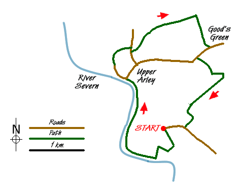
Walk 2466 - printer friendly version
The Severn Valley from Trimpley Reservoir Walk
Author - Peter Lane
Length - 6.0 miles / 9.8 km
Ascent - 750 feet / 227 metres
Grade - easy
Start - OS grid reference SO774792
Lat 52.410331 + Long -2.3336665
Postcode DY12 1PH (approx. location only)
An idyllic walk through field, forest and along the mighty River Severn. Sections of this walk include the Severn Way and North Worcestershire path recreational paths. The Severn Valley Railway (SVR) is crossed in the early part of the walk, offering the potential sighting of a steam train. Various attractions along the route include: sailing boats on Trimpley Reservoir, the SVR station at Arley and Arley Arboretum.
The starting point is the car park at grid reference SO774792 on the left just before the road becomes a private waterworks access. From the car park, a broad strip runs downhill from a grassy area abounding in manhole covers. Head downhill and shortly a narrow path on the left takes a short-cut through woods, soon meeting the official path heading left down the hill. Turn right when the path forks going down to the railway line and level crossing.
Severn Valley Railway trains give plenty of warning of approach, so hang around if you here one whistling. Cross over the line with care, go through a gate and turn right walking past a small reservoir. Past this, a staircase of railway sleepers leads up to a larger reservoir where the sailing club is often out doing its thing. Follow the rim of the lake, running parallel to the River Severn. The views of the Wyre Forest here are spectacular. Continue along the rim until reaching the Western end where you drop down to the River and follow the Severn Way.
Pass under the magnificent cast iron Victoria Bridge spanning the Severn and bearing the SVR to the West bank. Continue along this wonderful stretch of river to the village of Arley with its tea shop, Post Office (the Salcome Dairy ice cream comes highly recommended here), pub and Arley SVR station. The station and pub require a short detour over the footbridge, but are well worth the effort if you have the time.
Return to the West bank if you have crossed the footbridge to explore the West side and resume along the road heading up through Arley towards the Church. Before reaching the Church a sign indicates the way to Arley Arboretum. Follow this footpath past a grand crenelated, ivy clad tower. Continue along the access road to the Arboretum and out onto the road. Turn right briefly and then in a few metres a fingerpost on the left indicates a footpath heading through a field containing fenced trees. This path is not visible on the ground, so take a bearing of about 60 degrees and head towards the tree line ahead. Once you've reached the tree line, follow it uphill to the top right hand corner of the field, emerging onto the access lane to Castle Hill.
Turn right on this lane and just before a cottage on the right an overgrown footpath on the left takes us on to the next part of the route. Follow the tree line on the right, watching carefully for a gap leading down to a footbridge and steps the other side that emerge into a field. The path through the field is usually obvious, but the crops sometimes grow to five feet high, so beware! Follow the path ahead and head for Nash Elm Wood. Follow the hedge line once through the crops then don't turn right at the end of the field but head up the bank to a dilapidated stile. Cross and follow the line of mature trees as it heads towards the access to the dark Nash Elm Wood.
Coming to a bridlepath in the Wood, turn right down towards a stream and footbridges in a very, very muddy spot. Having crossed, head uphill to the right up a bridlepath that can also be a quagmire in wet weather! Upon reaching the main road to Arley, turn right and descend until a footpath on the left is located at a metal gate some 300 metres further on. Take this path and follow the boundary as it switches to the right side and then descends to a stile. Cross this onto a footbridge and footpath that is enclosed on both sides by fences.
Emerging at another footbridge, you meet up with the North Worcestershire Path (NWP) which heads uphill. Follow this to a wider crossing track which heads off right as the NWP with its pine cone symbol into Eymore Wood. Follow this down to a bridge and then after climbing a steep bank to a cross-roads. Stay on the NWP following the waymarks ro reach a lane (grid ref. SO778792). Turn right along the lane and continue walking until you reach the car park used at the start of the walk.
Messaging & Social Media
Message Walking Britain and follow the latest news.

Mountain Weather
Stay safe on the mountains with detailed weather forecasts - for iOS devices or for Android devices.