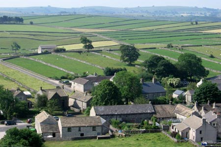
Miller's Dale & Cressbrook Dale from Tideswell Dale
Peak District Walk
Nat Park - Peak District - Bakewell Monsal Trail
County/Area - Derbyshire
Author - Lou Johnson
Length - 5.5 miles / 8.9 km Ascent - 950 feet / 288 metres
Time - 3 hours 40 minutes Grade - easy/mod
Maps 

| Ordnance Survey Explorer OL24 | Sheet Map | 1:25k | BUY |
| Anquet OS Explorer OL24 | Digital Map | 1:25k | BUY |
| Ordnance Survey Landranger 119 | Sheet Map | 1:50k | BUY |
| Anquet OS Landranger 119 | Digital Map | 1:50k | BUY |
Walk Route Description
Click image to see photo description.
This short Peak District walk in the Derbyshire dale is one of the first I recorded in my walking diary. I wrote "Full of variety and interest. Tideswell dale, Litton Mill with its deadly regime, the waterfront of Millers Dale, Ravensdale and the dry valleys of Cressbrook and Tansley Dale meant there was never a dull moment."
The start is the car park in Tideswell Dale alongside the B6049 (grid ref. SK154742). There are public toilets here too. Exit the car park to the south and walk down Tideswell Dale following the route of the stream. This path leads down to a tarmac lane (grid ref. SK156731). You are now in Miller's Dale. Bear left along this lane with the River Wye to your right. You soon arrive at Litton Mill, once infamous for its harsh treatment of child labour. Continue through the Mill following the signed concessionary path. This leads you down to the banks of the River.
Continue through this delightful steep-sided Dale to reach Cressbrook. Do not cross the river here instead walking left up to the tarmac road. Turn left and where the road forks, keep right continuing up the lane into Cressbrook Dale. At grid ref. SK171733 bear right down a track to Ravensdale Cottages. Continue past the cottages joining a path up the Dale through woodland to reach a footbridge (grid ref. SK171741). Cross the bridge and start a steady climb up the side of the Dale. Once at the top of the slope and having enjoyed the view, bear left and descend into Cressbrook Dale again. (You can omit this climb by staying on the valley floor using a concessionary path.)
Reaching the valley floor continue for a short distance up the dale to reach a signed footpath on your left to Litton (grid ref.SK173748). Follow this path up Tansley Dale to reach a walled lane. Cross the lane and follow the continuing path across the field to reach the main road through Litton. There is a pub in Litton. Bear left along the main road through the village. Initially keep to the left where the road splits and ignoring the left turn into Bottomhill Road, continue to the B6049. Turn left here and the starting point is a short distance down this road.
Other walks nearby
| Walk 2573 | Tideswell, Miller's & Cressbrook Dales from Litton | easy | 7.0 miles |
| Walk 1859 | Chee Dale & Monk's Dale from Miller's Dale | moderate | 7.3 miles |
| Walk 1206 | Chelmorton & Flagg from Taddington | easy/mod | 6.0 miles |
| Walk 1651 | Monsal Trail & Ashford-in-the-Water from Lees Bottom | easy/mod | 8.8 miles |
| Walk 3341 | Brushfield, Miller's Dale & Monsal Head from Lees Bottom | easy/mod | 6.5 miles |
| Walk 1896 | Horseshoe Dale & Deep Dale from Wye Dale | easy/mod | 6.4 miles |
| Walk 1100 | Abney Moor & Bretton Clough | moderate | 8.5 miles |
| Walk 1043 | Chelmorton & the Monsal Trail | easy/mod | 8.1 miles |
| Walk 1827 | Ashford-in-the Water,Magpie Mine & Over Haddon | easy/mod | 7.1 miles |
| Walk 1852 | Eldon Hill from Peak Forest | easy/mod | 5.0 miles |
Recommended Books & eBooks
Walking in Derbyshire
 Walking guidebook to 60 circular day walks in Derbyshire and the Peak District. Includes the Derwent, Wye and Trent river valleys, near Derby, Matlock, Glossop, Bakewell and Ripley. Routes range from easy to moderate and are between 4 and 14km (2 to 10 miles). Walks focus on places of interest, from Stone Age forts to castles to grand estates.
More information
Walking in the Peak District - White Peak East
 Guidebook describing 42 half-day and day walks in the limestone landscapes of Derbyshire's White Peak, part of the Peak District National Park. One of two volumes, this book covers the east of the region, with potential bases including Bakewell, Eyam, Castleton, Birchover, Matlock and Wirksworth.
More information
Messaging & Social Media
Message Walking Britain and follow the latest news.

Mountain Weather
Stay safe on the mountains with detailed weather forecasts - for iOS devices or for Android devices.