Wimperhill Wood and Longdon Orchard, Wyre Forest
Worcestershire Walk
County/Area - Worcestershire & Shropshire
Author - Peter Lane
Length - 4.0 miles / 6.5 km Ascent - 640 feet / 194 metres
Time - 2 hours 40 minutes Grade - easy
Maps 

| Ordnance Survey Explorer 218 | Sheet Map | 1:25k | BUY |
| Anquet OS Explorer 218 | Digital Map | 1:25k | BUY |
| Ordnance Survey Landranger 138 | Sheet Map | 1:50k | BUY |
| Anquet OS Landranger 138 | Digital Map | 1:50k | BUY |
Walk Route Description
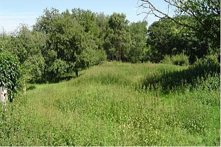
Click image to visit gallery of 3 images.
The Wyre Forest with its Visitor Centre at Callow Hill and free car park at Hawkbatch offers easy guided walks via coloured posts to those with less time or inclination to strike out on their own initiative. This short walk, however, is one where you're hardly likely to see more than a handful of people, even though there may be hoards within less than a mile of you! It is a delight at any time of year and if you're quiet, you may even spot some deer.
Park down a remote country lane near Far Forest off a road leading to Furnace Mill (fishery). At SO727759 by a 90 degree bend in the road, there is a small parking space on the grass verge. At the corner of the 90 degree bend in the road, follow the driveway down to the Newalls and go through the gate to the right, following a path down to a stream. Then cross a bridge and continue to the left uphill to an isolated, picturesque country lane. Ignoring the caravan park to the left, emerge from the path turning right along the tree lined lane and then first left down another country lane.
When the tarmac road ends, continue straight on down a public footpath, through a gate and descend crossing the path of the disused railway. Coming to the brook, take your choice of footbridge or stepping stones. Ascending slightly, the route to the crossing point of Dowles Brook is not marked - turn left on a small path to follow the brook coming quickly to an obvious footbridge. Cross into Shropshire and turn right, walking along the (frequently muddy) side of the brook for some 750 metres distance.
Watch out for the blue bridlepath marker pointing left up a steep bank and follow the narrow path up. Cross a forestry road and continue to descend into the woods. At a cross-roads of footpaths, take the right hand bridlepath which turns left soon, descending to a brook. Cross, ascend to a junction and turn left up a path fenced on both sides. At the next junction turn left and continue into dense woodland.
When the bridlepath takes a right turn uphill, continue left, following the yellow waymark down to yet another brook with another footbridge. Emerge into an open field (relief for the claustrophobic!) And head for the top left hand corner of the field. Cross a stile into a green lane, then another into a field and then yet another passing Kingswood Farm. Emerging onto the farm access drive, continue to a junction and turn left down a prominent bridleway, leading all the way back down to Dowles Brook. Cross via two footbridges (returning to Worcestershire), ascend to the Newalls and thence back to your car.
Other walks nearby
| Walk 2288 | Pound Green and Dowles Brook from Hawkbatch | easy | 5.0 miles |
| Walk 2131 | Wyre Forest National Nature Reserve, Bewdley | easy | 3.3 miles |
| Walk 1933 | Wyre Forest & River Severn from Upper Arley | easy/mod | 7.6 miles |
| Walk 2466 | The Severn Valley from Trimpley Reservoir | easy | 6.0 miles |
| Walk 3217 | Bewdley and Snuffmill Dingle | easy | 5.0 miles |
| Walk 3504 | Highley to Bewdley along the River Severn | easy/mod | 7.0 miles |
| Walk 3662 | Abberley Circular | easy/mod | 4.8 miles |
| Walk 1099 | Abberley Hills - Worcestershire Way Circular | easy/mod | 4.0 miles |
| Walk 2092 | Highley from the Severn Valley Country Park | easy/mod | 4.5 miles |
| Walk 1603 | Shatterford Wood and Castle Hill circular | easy/mod | 5.5 miles |
Recommended Books & eBooks
No suggestions for this area.Messaging & Social Media
Message Walking Britain and follow the latest news.

Mountain Weather
Stay safe on the mountains with detailed weather forecasts - for iOS devices or for Android devices.