Ardingly Reservoir Walk
Walk 1048 - Route Maps
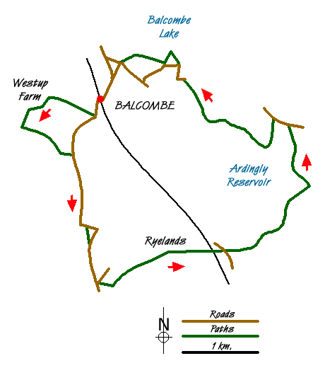
Route Map
Digital Maps - Copyright © 2011-2024. All rights reserved.
Sketch Map
Suggested Maps 

| Ordnance Survey Explorer 135 | Sheet Map | 1:25k | BUY |
| Anquet OS Explorer 135 | Digital Map | 1:25k | BUY |
| Ordnance Survey Landranger 198 | Sheet Map | 1:50k | BUY |
| Anquet OS Landranger 198 | Digital Map | 1:50k | BUY |
It is recommended you take a map. The preferred scale is 1:25k.
Start Point Details
Ordnance Survey Grid Ref TQ306302
Latitude 51.0563 Longitude -0.137901
Postcode RH17 6JF
what3words start last.alleyway.clots
Walk description may contain detailed information on the start point for this walk.
Further Information
West Sussex
West Sussex lies in Southern England and offers a variety of scenic interest including Wealden, downland and coastal. The highest point of the county is Blackdown, at 280 metres (919 ft). Over half of West Sussex is protected countryside including part of the South Downs National Park and the Chichester Harbour National Landscape (formerly AONB). The most important long-distance footpath is the South Downs Way National Trail.
Walk grading - Learn how each walk is assessed and select a walk to suit your ability and experience by going to Walk Grading Details.
Messaging & Social Media
Message Walking Britain and follow the latest news.

Mountain Weather
Stay safe on the mountains with detailed weather forecasts - for iOS devices or for Android devices.