Tintern, Devil's Pulpit & Brockweir Walk
Walk 1272 - Route Maps
Route Map
Digital Maps - Copyright © 2011-2024. All rights reserved.
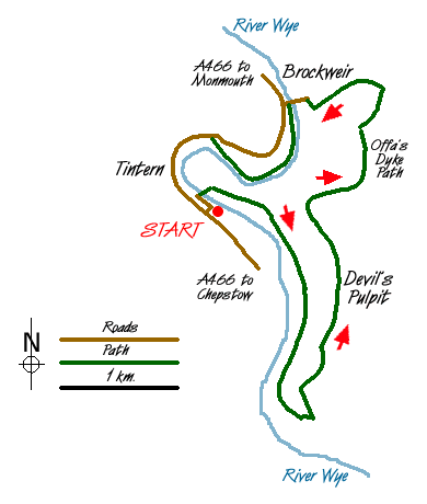
Sketch Map
Suggested Maps 

| Ordnance Survey Explorer OL14 | Sheet Map | 1:25k | BUY |
| Anquet OS Explorer OL14 | Digital Map | 1:25k | BUY |
| Ordnance Survey Landranger 162 | Sheet Map | 1:50k | BUY |
| Anquet OS Landranger 162 | Digital Map | 1:50k | BUY |
It is recommended you take a map. The preferred scale is 1:25k.
Start Point Details
Ordnance Survey Grid Ref SO532001
Latitude 51.697684 Longitude -2.678545
Postcode NP16 6TE
what3words start sharpened.points.baroness
Walk description may contain detailed information on the start point for this walk.
Further Information
Wye Valley Forest of Dean
The Forest of Dean is one a few remaining ancient forests in England. To the west it is bounded by the lower section of the River Wye. Together these areas provide some excellent walking. Wye Valley Forest of Dean Walking Guide
Walk grading - Learn how each walk is assessed and select a walk to suit your ability and experience by going to Walk Grading Details.
Messaging & Social Media
Message Walking Britain and follow the latest news.

Mountain Weather
Stay safe on the mountains with detailed weather forecasts - for iOS devices or for Android devices.