Kimmeridge & Tyneham Walk
Walk 1331 - Route Maps
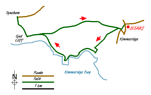
Route Map
Digital Maps - Copyright © 2011-2024. All rights reserved.
Sketch Map
Suggested Maps 

| Ordnance Survey Explorer OL15 | Sheet Map | 1:25k | BUY |
| Anquet OS Explorer OL15 | Digital Map | 1:25k | BUY |
| Ordnance Survey Landranger 194 | Sheet Map | 1:50k | BUY |
| Anquet OS Landranger 194 | Digital Map | 1:50k | BUY |
It is recommended you take a map. The preferred scale is 1:25k.
Start Point Details
Ordnance Survey Grid Ref SY918800
Latitude 50.619648 Longitude -2.117272
Postcode BH20 5PH
what3words start runs.budget.ascendant
Walk description may contain detailed information on the start point for this walk.
Further Information
Jurassic Coast
The 95 miles of Jurassic Coast offers excellent walking along cliffs that represent 85 million years of geological history. The Jurassic Coast stretches from Orcombe Point near Exmouth in East Devon to Old Harry Rocks near Swanage in East Dorset and was added to the World Heritage List in 2001. Jurassic Coast Walking Guide
Dorset
Dorset is a beautiful county for walking with a varied landscape including chalk downs, limestone ridges, low-lying valleys and a glorious coastline. Predominantly rural in character the walking offers wonderful views and pretty villages. Much of the coast is part of the Jurassic Coast Natural World Heritage Site due to its geological significance, including Lulworth Cove, Chesil Beach and Durdle Door.
Walk grading - Learn how each walk is assessed and select a walk to suit your ability and experience by going to Walk Grading Details.
Messaging & Social Media
Message Walking Britain and follow the latest news.

Mountain Weather
Stay safe on the mountains with detailed weather forecasts - for iOS devices or for Android devices.