Mount Segg & Harvington Hall Walk
Walk 1480 - Route Maps
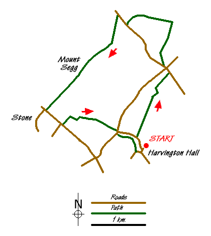
Sketch Map
Suggested Maps 

| Ordnance Survey Explorer 219 | Sheet Map | 1:25k | BUY |
| Anquet OS Explorer 219 | Digital Map | 1:25k | BUY |
| Ordnance Survey Landranger 139 | Sheet Map | 1:50k | BUY |
| Anquet OS Landranger 139 | Digital Map | 1:50k | BUY |
It is recommended you take a map. The preferred scale is 1:25k.
Start Point Details
Ordnance Survey Grid Ref SO878745
Latitude 52.36841 Longitude -2.180605
Postcode DY10 4LR
what3words start clerics.riot.severe
Walk description may contain detailed information on the start point for this walk.
Further Information
Walk grading - Learn how each walk is assessed and select a walk to suit your ability and experience by going to Walk Grading Details.
Messaging & Social Media
Message Walking Britain and follow the latest news.

Mountain Weather
Stay safe on the mountains with detailed weather forecasts - for iOS devices or for Android devices.