Oswaldkirk, Nunnington & Harome circular Walk
Walk 1704 - Route Maps
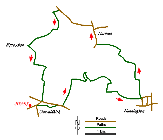
Route Map
Digital Maps - Copyright © 2011-2024. All rights reserved.
Sketch Map
Suggested Maps 

| Ordnance Survey Explorer OL26 | Sheet Map | 1:25k | BUY |
| Anquet OS Explorer OL26 | Digital Map | 1:25k | BUY |
| Ordnance Survey Landranger 100 | Sheet Map | 1:50k | BUY |
| Anquet OS Landranger 100 | Digital Map | 1:50k | BUY |
It is recommended you take a map. The preferred scale is 1:25k.
Start Point Details
Ordnance Survey Grid Ref SE622790
Latitude 54.202985 Longitude -1.047967
Postcode YO62 5YJ
what3words start wide.bulge.kipper
Walk description may contain detailed information on the start point for this walk.
Further Information
North Yorkshire
North Yorkshire is a large county and contains some of the finest walking in Britain. The Yorkshire Dales and North York Moors National Parks offer varied routes to suit all abilities with wonderful scenery. Outside of the two National Parks, there are many walks offering rural tranquillity and pleasant walking. The Pennine Way, Dales Way and Coast to Coast long distance paths offer excellent circular walks exploring the landscapes of this historic county.
Walk grading - Learn how each walk is assessed and select a walk to suit your ability and experience by going to Walk Grading Details.
Messaging & Social Media
Message Walking Britain and follow the latest news.

Mountain Weather
Stay safe on the mountains with detailed weather forecasts - for iOS devices or for Android devices.