Uley Bury & Cam Long Down Walk
Walk 1877 - Route Maps
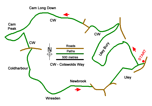
Route Map
Digital Maps - Copyright © 2011-2024. All rights reserved.
Sketch Map
Suggested Maps 

| Ordnance Survey Explorer 167 | Sheet Map | 1:25k | BUY |
| Anquet OS Explorer 167 | Digital Map | 1:25k | BUY |
It is recommended you take a map. The preferred scale is 1:25k.
Start Point Details
Ordnance Survey Grid Ref ST792986
Latitude 51.685769 Longitude -2.302272
Postcode GL11 5SN
what3words start crunches.harmlessly.headed
Walk description may contain detailed information on the start point for this walk.
Further Information
Cotswolds
The Cotswold National Landscape (formerly AONB) covers about 800 square miles in six counties of England. It is mostly farmland, both cultivated and pasture, with some areas of woodland and open upland. Bearing this in mind staying on signed rights of way is important so as to maintain the important balance between landowner and visitor. Cotswolds Walking Guide
Walk grading - Learn how each walk is assessed and select a walk to suit your ability and experience by going to Walk Grading Details.
Messaging & Social Media
Message Walking Britain and follow the latest news.

Mountain Weather
Stay safe on the mountains with detailed weather forecasts - for iOS devices or for Android devices.