River Ure & Nutwith Common from Masham Walk
Walk 1929 - Route Maps
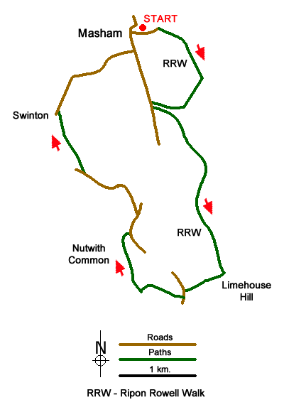
Route Map
Digital Maps - Copyright © 2011-2024. All rights reserved.
Sketch Map
Suggested Maps 

| Ordnance Survey Explorer 298 | Sheet Map | 1:25k | BUY |
| Anquet OS Explorer 298 | Digital Map | 1:25k | BUY |
| Ordnance Survey Explorer 302 | Sheet Map | 1:25k | BUY |
| Anquet OS Explorer 302 | Digital Map | 1:25k | BUY |
| Ordnance Survey Landranger 99 | Sheet Map | 1:50k | BUY |
| Anquet OS Landranger 99 | Digital Map | 1:50k | BUY |
It is recommended you take a map. The preferred scale is 1:25k.
Start Point Details
Ordnance Survey Grid Ref SE225807
Latitude 54.221533 Longitude -1.656422
Postcode HG4 4DZ
what3words start tables.matchbox.dampen
Walk description may contain detailed information on the start point for this walk.
Further Information
Nidderdale AONB
The Nidderdale National Landscape (formerly AONB) is an area of natural beauty in North Yorkshire sharing its western border with the Yorkshire Dales National Park to the east and south. The AONB includes most of Nidderdale itself, part of lower Wharfedale, the Washburn valley and part of lower Wensleydale. The highest land is Great Whernside which rises to 704 metres above sea level on the border with the Yorkshire Dales National Park. Pateley Bridge is the only town with Otley, Ilkley, Masham and Ripon just outside the borders. Nidderdale AONB Walking Guide
North Yorkshire
North Yorkshire is a large county and contains some of the finest walking in Britain. The Yorkshire Dales and North York Moors National Parks offer varied routes to suit all abilities with wonderful scenery. Outside of the two National Parks, there are many walks offering rural tranquillity and pleasant walking. The Pennine Way, Dales Way and Coast to Coast long distance paths offer excellent circular walks exploring the landscapes of this historic county.
Walk grading - Learn how each walk is assessed and select a walk to suit your ability and experience by going to Walk Grading Details.
Messaging & Social Media
Message Walking Britain and follow the latest news.

Mountain Weather
Stay safe on the mountains with detailed weather forecasts - for iOS devices or for Android devices.