Hambleton Peninsula circular Walk
Walk 2323 - Route Maps
Route Map
Digital Maps - Copyright © 2011-2024. All rights reserved.
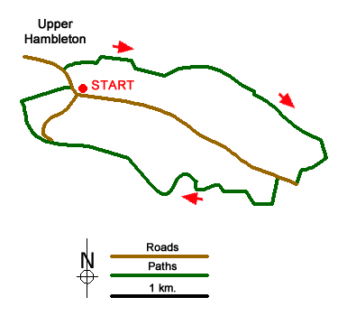
Sketch Map
Suggested Maps 

| Ordnance Survey Explorer 234 | Sheet Map | 1:25k | BUY |
| Anquet OS Explorer 234 | Digital Map | 1:25k | BUY |
It is recommended you take a map. The preferred scale is 1:25k.
Start Point Details
Ordnance Survey Grid Ref SK900075
Latitude 52.657765 Longitude -0.670866
Postcode LE15 8TJ
what3words start reinstate.water.steepest
Walk description may contain detailed information on the start point for this walk.
Further Information
Rutland
Rutland is one of the smallest counties in the UK and is in the East Midlands. Walking opportunities are limited by the physical size of the county which is dominated by the large expanse of Rutland Water which almost bisected by the Hambleton Peninsula. Many of the walks are in fact based around this peninsula and the shores of the reservoir which at the time of construction in 1971 was the largest artificial lake in Europe.
Walk grading - Learn how each walk is assessed and select a walk to suit your ability and experience by going to Walk Grading Details.
Messaging & Social Media
Message Walking Britain and follow the latest news.

Mountain Weather
Stay safe on the mountains with detailed weather forecasts - for iOS devices or for Android devices.