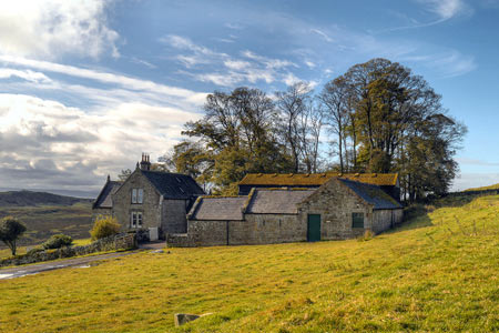
Hotbank Crags & Housesteads from Vindolanda
Northumberland Walk
Nat Park - Northumberland
County/Area - Northumberland County
Author - Lou Johnson
Length - 5.3 miles / 8.6 km Ascent - 900 feet / 273 metres
Time - 3 hours 30 minutes Grade - easy
Maps 

| Ordnance Survey Explorer OL43 | Sheet Map | 1:25k | BUY |
| Anquet OS Explorer OL43 | Digital Map | 1:25k | BUY |
Walk Route Description
Click image to see photo description.
The remains of the Roman Forts at Vindolanda and Housesteads provide an historic focus for this walk. The inclusion of a dramatic section of Hadrian's Wall adds further interest to the route. You are advised to allow plenty of time, as the Roman antiquities are full of interest and far better preserved than expected.
The start is the small car park (grid ref. NY773664) which is located on the south side of the B6318 and accessed via a quiet country lane. This car park is convenient for visiting Vindolanda either before you start the walk or after completion of the route. You can also complete the walk by using the Hadrian's Wall bus service AD122 which runs from April through to September.
After parking exit the car park and turn right along the lane towards Vindolanda. The lane turns sharp left and crosses Bradley Burn. Immediately after take the footpath on your left. This leads past High Shields Farm on your left to exit onto the B6318 (grid ref. NY770674). Turn right along the B6318 and then turn left on to the metalled track where it meets the B6318 at a gate. It is only about 100 yards or so away and follows the line of a wall and is very clear to see. Turn left along this track and continue north to reach Hadrian's Wall. Turn right along the Wall following the Pennine Way and the Hadrian's Wall Path east. On your left is Crag Lough which nestles below Highshield Crags.
Follow the path along the Wall over Hotbank Crags and continue past the point where the Pennine Way heads north to reach Housesteads and the Roman Fort. The remains of the fort are impressive and well worth a visit. Exit the site of the Roman fort to the south and bear left onto a track heading south-west to Deafley Rigg and the B6318 (grid ref. NY785680). Turn left along the road and take the signed bridleway on the right. This leads past East Crinkledykes (on your right) to reach a lane (grid ref. NY786669).
Turn right along the lane and follow it west to the first road junction. Go straight ahead here picking up the path that follows Stangate (the route of an old Roman Road). This leads you back to the lane used at the start. Turn left along the lane and the car park is on your left.
Other walks nearby
| Walk 3404 | Hadrian's Wall - Cawfields to Steel Rigg | easy/mod | 3.5 miles |
| Walk 1198 | Hadrian's Wall & Steel Rigg | moderate | 8.0 miles |
| Walk 2337 | Greenlee Lough and Steel Rigg | easy/mod | 7.5 miles |
| Walk 3331 | Cragend & Crow Crags from Housesteads | easy/mod | 8.4 miles |
| Walk 3343 | Hadrian's Wall, Walltown Crags & Aesica | easy/mod | 5.0 miles |
| Walk 2803 | Hadrian's Wall and Haughton Common | hard | 20.0 miles |
| Walk 1786 | Hadrian's Wall & Simonburn circular | easy/mod | 6.8 miles |
| Walk 1987 | Allendale Town Circular | easy/mod | 6.6 miles |
| Walk 1942 | Watson's Pike & Hexhamshire Common | easy/mod | 6.0 miles |
| Walk 1477 | Bellingham to Kiln Rigg by Pennine Way Circular | moderate | 14.3 miles |
Recommended Books & eBooks
The Pennine Way - the Path, the People, the Journey
 A portrait of the The Pennine Way, Britain's oldest and best known long-distance footpath, stretching 268 miles from the Peak District to the Scottish Borders. This personal, thoughtful and often humorous story of the path's remarkable history, includes the experiences of walkers and local characters on this exhilarating and complex path.
More information
The Pennine Way
 Guidebook to the Pennine Way National Trail with OS map booklet. The 265 mile route from Edale to Kirk Yetholm takes three weeks to walk and is suitable for fit and experienced long distance walkers. The route crosses the Peak District, Yorkshire Dales and North Pennines National Parks. Includes separate OS 1:25,000 map booklet of the route.
More information
Messaging & Social Media
Message Walking Britain and follow the latest news.

Mountain Weather
Stay safe on the mountains with detailed weather forecasts - for iOS devices or for Android devices.