Stratford-upon-Avon circular
Warwickshire Walk
County/Area - Warwickshire
Author - Lou Johnson
Length - 3.8 miles / 6.1 km Ascent - 100 feet / 30 metres
Time - 2 hours 0 minutes Grade - easy
Maps 

| Ordnance Survey Explorer 205 | Sheet Map | 1:25k | BUY |
| Anquet OS Explorer 205 | Digital Map | 1:25k | BUY |
| Ordnance Survey Landranger 151 | Sheet Map | 1:50k | BUY |
| Anquet OS Landranger 151 | Digital Map | 1:50k | BUY |
Walk Route Description

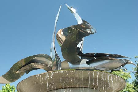
Click image to visit gallery of 6 images.
This walk explores a section of the River Avon on the southern outskirts of Stratford-upon-Avon. In addition it offers the opportunity to visit Holy Trinity Church where William Shakespeare and Anne Hathaway are buried. The walk is generally flat and undemanding. After rain, some of the paths may be muddy so suitable footwear should be worn.
The start is the front of the Royal Shakespeare Theatre (Grid ref. SP203547). Facing the theatre, walk left towards the river and follow the concrete walkway along the riverside of the Theatre. Cross the grassy area and reach the road (Waterside) by the ferry. This leads you into Southern Lane. Turn left at the next junction into Old Town passing Holy Trinity Church on your left. (If you wish to see the graves of Shakespeare and Anne Hathaway are then a small admission charge is payable.)
Just after the Church bear left down Mill Lane following the footpath to reach a main road (Grid ref. SP200540). Go under the bride and bear slightly left to continue along the riverside path, which forms part of the Monarch's Way long distance footpath. The riverside walk is very pleasant and you soon pass a weir and lock that helps make this section of the Avon navigable. Continue alongside the river to reach a substantial girder bridge that once carried the railway from Stratford to Honeybourne.
Walk up onto the old track bed and cross the bridge (Grid ref. SP188533). You will see the return path on your left as you reach the other side of the river. To get to the path turn left off the old railway and go under a small bridge and then back on yourself to reach the path. The path follows the river to pass the restored lock and weir to reach the main road (Grid ref. SP201539). Go under the road and continue on the path through pleasant grassed areas past another weir. Passing the bandstand you get a good view of the Royal Shakespeare across the river. Cross the river by the next bridge. Turn left and you are back at the start.
Other walks nearby
| Walk 1359 | Stratford-upon-Avon from Milcote | easy/mod | 7.0 miles |
| Walk 2836 | Wootton Wawen | easy/mod | 8.0 miles |
| Walk 3246 | River Avon & Cleeve Prior from Bidford-on-Avon | easy | 4.5 miles |
| Walk 3734 | Compton Verney Circular | easy/mod | 7.2 miles |
| Walk 2340 | Ilmington Down | easy/mod | 4.3 miles |
| Walk 2408 | Ebrington & Hidcote from Ilmington | easy/mod | 8.0 miles |
| Walk 3249 | Hidcote & Ilmington Down | easy/mod | 8.0 miles |
| Walk 1749 | Upper Quinton & Hidcote Bartrim from Mickleton | easy/mod | 6.8 miles |
| Walk 2541 | Hidcote & Foxcote from Mickleton | easy/mod | 7.5 miles |
| Walk 3016 | Preston Bagot & Finwood from Henley-in-Arden | easy/mod | 7.0 miles |
Recommended Books & eBooks
No suggestions for this area.Mountain Weather
Stay safe on the mountains with detailed weather forecasts - for iOS devices or for Android devices.

