Duffield & the Chevin Walk
Walk 2801 - Route Maps
Route Map
Digital Maps - Copyright © 2011-2024. All rights reserved.
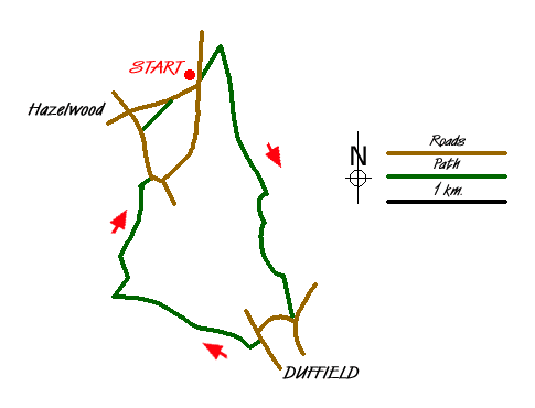
Sketch Map
Suggested Maps 

| Ordnance Survey Explorer 259 | Sheet Map | 1:25k | BUY |
| Anquet OS Explorer 259 | Digital Map | 1:25k | BUY |
| Ordnance Survey Landranger 119 | Sheet Map | 1:50k | BUY |
| Anquet OS Landranger 119 | Digital Map | 1:50k | BUY |
| Ordnance Survey Landranger 128 | Sheet Map | 1:50k | BUY |
| Anquet OS Landranger 128 | Digital Map | 1:50k | BUY |
It is recommended you take a map. The preferred scale is 1:25k.
Start Point Details
Ordnance Survey Grid Ref SK336463
Latitude 53.012957 Longitude -1.500645
Postcode DE56 4AF
what3words start wound.shuttered.stammer
Walk description may contain detailed information on the start point for this walk.
Further Information
Derbyshire
Derbyshire has a wide range of walking to suit all abilities. The best walks are within the boundaries of the Peak District National Park with the limestone dales of the White Peak and wild gritstone moors of the Dark Peak. Outside of the National Park there is still much of interest to walkers with pleasant rural countryside often with similar characteristics to the area within the National Park boundaries.
Walk grading - Learn how each walk is assessed and select a walk to suit your ability and experience by going to Walk Grading Details.
Messaging & Social Media
Message Walking Britain and follow the latest news.

Mountain Weather
Stay safe on the mountains with detailed weather forecasts - for iOS devices or for Android devices.