Sandy and Everton Circular Walk
Walk 3113 - Route Maps
Route Map
Digital Maps - Copyright © 2011-2024. All rights reserved.
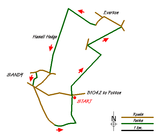
Sketch Map
Suggested Maps 

| Ordnance Survey Landranger 153 | Sheet Map | 1:50k | BUY |
| Anquet OS Landranger 153 | Digital Map | 1:50k | BUY |
It is recommended you take a map. The preferred scale is 1:25k.
Start Point Details
Ordnance Survey Grid Ref TL191485
Latitude 52.121993 Longitude -0.261795
Postcode SG19 2DL
what3words start waxes.bombshell.whizzing
Walk description may contain detailed information on the start point for this walk.
Further Information
Bedfordshire
The southern end of Bedfordshire includes he Chiltern Hills, which form the highest land in the county. Away from the hills the county is dominated by the wide drainage basin of the River Great Ouse and its tributaries. Most of Bedfordshire's rocks are clays and sandstones with some limestone. Brick making has been an important industry using local clay especially the Marston Vale. The production of sand and gravel has also been important and some of the old workings are now lakes including those at Priory Country Park, Wyboston and Felmersham. Another important feature is the Greensand Ridge, an escarpment across the county from near Leighton Buzzard into neighbouring Cambridgeshire. The key towns are Bedford and Luton.
Walk grading - Learn how each walk is assessed and select a walk to suit your ability and experience by going to Walk Grading Details.
Messaging & Social Media
Message Walking Britain and follow the latest news.

Mountain Weather
Stay safe on the mountains with detailed weather forecasts - for iOS devices or for Android devices.