Eggardon Hill from Loders Walk
Walk 3629 - Route Maps
Route Map
Digital Maps - Copyright © 2011-2024. All rights reserved.
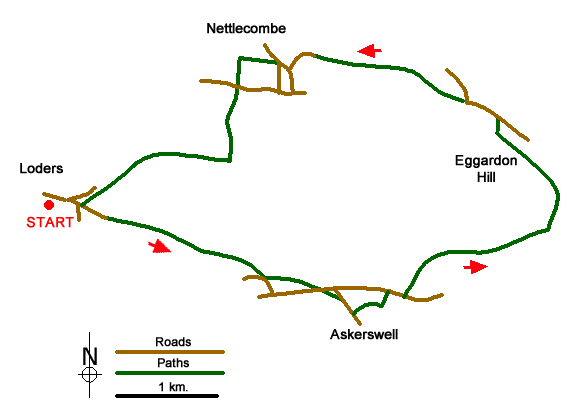
Sketch Map
Suggested Maps 

| Ordnance Survey Explorer 117 | Sheet Map | 1:25k | BUY |
| Anquet OS Explorer 117 | Digital Map | 1:25k | BUY |
| Ordnance Survey Landranger 194 | Sheet Map | 1:50k | BUY |
| Anquet OS Landranger 194 | Digital Map | 1:50k | BUY |
It is recommended you take a map. The preferred scale is 1:25k.
Start Point Details
Ordnance Survey Grid Ref SY494942
Latitude 50.745188 Longitude -2.718537
Postcode DT5 2JT
what3words start telephone.flown.parrot
Walk description may contain detailed information on the start point for this walk.
Further Information
Dorset
Dorset is a beautiful county for walking with a varied landscape including chalk downs, limestone ridges, low-lying valleys and a glorious coastline. Predominantly rural in character the walking offers wonderful views and pretty villages. Much of the coast is part of the Jurassic Coast Natural World Heritage Site due to its geological significance, including Lulworth Cove, Chesil Beach and Durdle Door.
Walk grading - Learn how each walk is assessed and select a walk to suit your ability and experience by going to Walk Grading Details.
Messaging & Social Media
Message Walking Britain and follow the latest news.

Mountain Weather
Stay safe on the mountains with detailed weather forecasts - for iOS devices or for Android devices.