Essendon & Little Berkhamsted Circular
Hertfordshire Walk
County/Area - Hertfordshire
Author - Lou Johnson
Length - 7.4 miles / 12 km Ascent - 600 feet / 182 metres
Time - 4 hours 20 minutes Grade - easy/mod
Maps 

| Ordnance Survey Explorer 182 | Sheet Map | 1:25k | BUY |
| Anquet OS Explorer 182 | Digital Map | 1:25k | BUY |
Walk Route Description
Click image to see photo description.
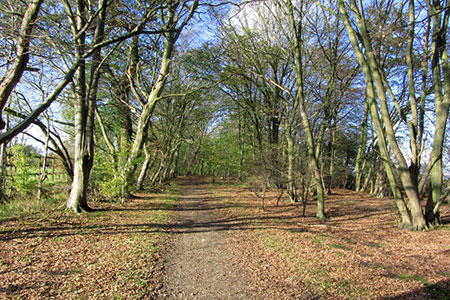
A pleasant walk in rural Hertfordshire from the attractive village of Little Berkhamsted. The route follows sections of the Hertfordshire Way and Chain Walk which are both well waymarked. The walk crosses undulating countryside passing through fields and woodland.
The walk starts from near St, Andrew church in Little Berkhamsted where limited on street parking is available (grid ref. TL292078). After parking walk north to the T-junction (with the church on your right) and turn left into Little Berkhamsted Lane. Continue for 400 metres and turn right onto a signed public bridleway through a gateway. You are now on the Hertfordshire Way. Continue past Danes Farm on your right into open countryside. Follow the clear path for another 800 metres to pass between trees to reach a surfaced driveway (grid ref. TL283084).
Bear left along the driveway. The Hertfordshire Way turns right down the side of the Essendon Golf Course clubhouse and then left around the back of the building. Continue on the driveway to pass a school on your right. Reaching School Lane (grid ref. TL277086). Turn left and continue to the B158. Turn left and after a short distance turn right through a kissing gate. The path soon passes through woodland and then crosses a footbridge over Essendon Brook. At the next junction of paths, turn left and continue along the Hertfordshire Way.
Continue ahead and after 600 metres bear left where the track forks. The path soon recrosses Essendon Brook and 450 metres after the footbridge the Hertfordshire Way turns sharp right (grid ref. TL272073). The route passes through more trees to reach several buildings where the route bear left to reach a road (Cum Cum Hill). Go straight across the road to join Hornbeam Lane. Follow the lane and later a path for 1.5 kilometres past Nine Acre Wood on your left to join Cucumber Lane (grid ref. TL281060).
Bear right along the lane to a T-junction by Birchwood Cottages (grid ref. TL285058). Turn left and almost immediately right to continue along the Hertfordshire Way. After 300 metres the track turns sharp left and leads past New Park Farm on your right. Just past the farm and before the row on houses on the left, turn left onto the signed footpath. The route (part of the Chain Walk) descends into a shallow valley keeping to the right-hand edge of the fields. A short ascent leads you to a road (grid ref. TL294062).
Turn left along the road and then take the first footpath on the right (by a yellow bin). The path crosses fields to join a track which leads to a lane in Epping Green (grid ref. TL294067). Turn left along the lane which soon becomes a track. Reaching a fork, keep left and follow the Chain Walk back to Berkhamsted Lane, which was used at the start of the walk. Turn right back to the start by the church.
Other walks nearby
| Walk 1024 | Essendon to Bayford Circular | easy/mod | 10.0 miles |
| Walk 2441 | Lea Valley from Mill Green to Ware | easy/mod | 9.5 miles |
| Walk 1402 | Burnham Green, Tewin and the Mimram Valley | easy | 6.0 miles |
| Walk 3578 | Hertford and Ware Circular | easy | 5.5 miles |
| Walk 3123 | Hertford East to Rye House | easy/mod | 8.6 miles |
| Walk 2457 | Stanborough Park, Welwyn Garden City | easy | 2.0 miles |
| Walk 1723 | Broxbourne Circular via Roydon | moderate | 10.3 miles |
| Walk 1698 | Ware to Enfield Lock - Lea Valley - | easy/mod | 12.5 miles |
| Walk 1741 | Rye House circular via Roydon and Stanstead Abbots | easy/mod | 9.1 miles |
| Walk 2799 | Ayot Green Circular | easy | 4.3 miles |
Recommended Books & eBooks
No suggestions for this area.Messaging & Social Media
Message Walking Britain and follow the latest news.

Mountain Weather
Stay safe on the mountains with detailed weather forecasts - for iOS devices or for Android devices.