Tail Burn is the exit stream from Loch Skene
Walk Photo 200604
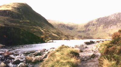
Caption - Tail Burn is the exit stream from Loch Skene and provides the water for the impressive Grey Mare's tail waterfall. In this view the screes of Lochcraig Head can be seen to the right.
Walk 2006 : Grey Mare's Tail & White Coomb
Photographer : Simon Tweedie
Use back button to return to the photo gallery lists.
Further Information
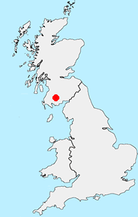
Location Map
Dumfries and Galloway
Dumfries and Galloway is located in south-west Scotland and shares a short border with England. The area has a lengthy coastline including along the Solway Firth. Inland there are ranges of hills including Merrick the highest hill rising to 843 metres above sea level. Long distance footpaths include the Southern Upland Way.
Messaging & Social Media
Message Walking Britain and follow the latest news.

Mountain Weather
Stay safe on the mountains with detailed weather forecasts - for iOS devices or for Android devices.