Deep Dale shows the features unique to Yorkshire Wolds
Walk Photo 351503
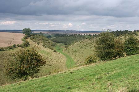
Caption - Deep Dale also exhibits all the features unique to the Yorkshire Wolds.
Walk 3515 : Deepdale and the deserted village of Wharram St. Percy
Photographer : Lou Johnson
Use back button to return to the photo gallery lists.
Further Information
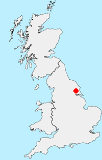
Location Map
Yorkshire Wolds
The Yorkshire Wolds are chalk hills that run in an arc from west of Hull to the North Sea coast south of Bridlington. At their eastern end the Wolds produce the high cliffs rising to 420 feet above the sea east of Speeton. To the south the Yorkshire Wolds continue across the River Humber to the Lincolnshire Wolds which have a similar geological character. Most of the Yorkshire Wolds lie in the county of East Yorkshire although some of the hills at western end are in neighbouring North Yorkshire. More Information
Messaging & Social Media
Message Walking Britain and follow the latest news.

Mountain Weather
Stay safe on the mountains with detailed weather forecasts - for iOS devices or for Android devices.