St Mary's Parish Church at Yelden
Walk Photo 360501
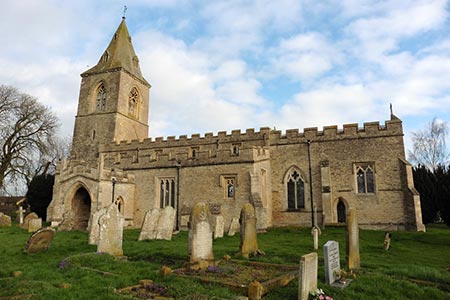
Caption - St Mary's Parish Church at Yelden, Bedfordshire. The village also has the remains of a Motte and Bailey castle to explore.
Walk 3605 : Shelton & Yelden from Upper Dean
Photographer : Dave Kelly
Use back button to return to the photo gallery lists.
Further Information
Location Map
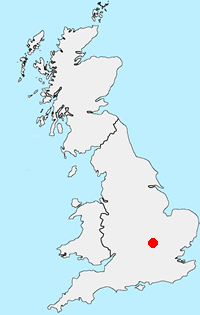
Bedfordshire
The southern end of Bedfordshire includes he Chiltern Hills, which form the highest land in the county. Away from the hills the county is dominated by the wide drainage basin of the River Great Ouse and its tributaries. Most of Bedfordshire's rocks are clays and sandstones with some limestone. Brick making has been an important industry using local clay especially the Marston Vale. The production of sand and gravel has also been important and some of the old workings are now lakes including those at Priory Country Park, Wyboston and Felmersham. Another important feature is the Greensand Ridge, an escarpment across the county from near Leighton Buzzard into neighbouring Cambridgeshire. The key towns are Bedford and Luton.
Messaging & Social Media
Message Walking Britain and follow the latest news.

Mountain Weather
Stay safe on the mountains with detailed weather forecasts - for iOS devices or for Android devices.