Ropsley, Scotland & the Humbys Walk
Walk 1026 - Route Maps
Route Map
Digital Maps - Copyright © 2011-2024. All rights reserved.
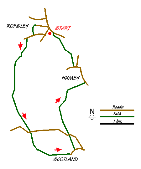
Sketch Map
Suggested Maps 

| Ordnance Survey Explorer 247 | Sheet Map | 1:25k | BUY |
| Anquet OS Explorer 247 | Digital Map | 1:25k | BUY |
| Ordnance Survey Explorer 248 | Sheet Map | 1:25k | BUY |
| Anquet OS Explorer 248 | Digital Map | 1:25k | BUY |
| Ordnance Survey Landranger 130 | Sheet Map | 1:50k | BUY |
| Anquet OS Landranger 130 | Digital Map | 1:50k | BUY |
It is recommended you take a map. The preferred scale is 1:25k.
Start Point Details
Ordnance Survey Grid Ref SK994343
Latitude 52.896965 Longitude -0.523817
Postcode NG33 4BJ
what3words start maddening.trams.toddler
Walk description may contain detailed information on the start point for this walk.
Further Information
Lincolnshire
The County of Lincolnshire has a long coastline on the North Sea to the east and varied landscapes inland. For walkers, this diversity means that there are a wide variety of walks including the cost, the rolling Wolds, historic villages and many nature reserves. For many the rolling hills of the Lincolnshire Wolds offer some the best walking in the county. In complete contrast the flat and often watery landscapes of the Fens are equally attractive. In the western half of the county the limestone escarpment running north-south also offers some outstanding walking.
Walk grading - Learn how each walk is assessed and select a walk to suit your ability and experience by going to Walk Grading Details.
Messaging & Social Media
Message Walking Britain and follow the latest news.

Mountain Weather
Stay safe on the mountains with detailed weather forecasts - for iOS devices or for Android devices.