East Prawle & Prawle Point Walk
Walk 1866 - Route Maps
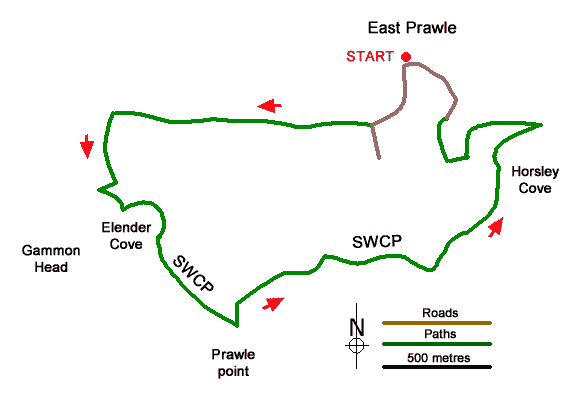
Route Map
Digital Maps - Copyright © 2011-2024. All rights reserved.
Sketch Map
Suggested Maps 

| Ordnance Survey Explorer OL20 | Sheet Map | 1:25k | BUY |
| Anquet OS Explorer OL20 | Digital Map | 1:25k | BUY |
It is recommended you take a map. The preferred scale is 1:25k.
Start Point Details
Ordnance Survey Grid Ref SX781364
Latitude 50.21502 Longitude -3.709896
Postcode TQ7 2BY
what3words start lease.informal.protester
Walk description may contain detailed information on the start point for this walk.
Further Information
Devon
The County of Devon offers a wide range of walking. With two lengthy sections of coastal path along the north and south coasts the variety of walking on offer is hard to match anywhere in the British Isles. Add to this the wild moors of the Dartmoor National Park with the highest land in southern England and you soon realise why Devon has such a high reputation among walkers. Elsewhere there are many pretty villages to explore as well as vast tracts of rural farmland with a patchwork of fields surrounded by hedgerows.
Walk grading - Learn how each walk is assessed and select a walk to suit your ability and experience by going to Walk Grading Details.
Messaging & Social Media
Message Walking Britain and follow the latest news.

Mountain Weather
Stay safe on the mountains with detailed weather forecasts - for iOS devices or for Android devices.