Beamsley Beacon and Bolton Abbey Walk
Walk 1905 - Route Maps
Route Map
Digital Maps - Copyright © 2011-2024. All rights reserved.
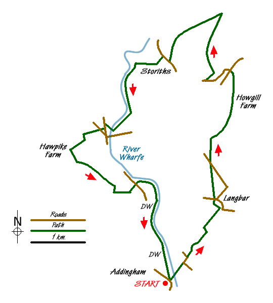
Sketch Map
Suggested Maps 

| Ordnance Survey Explorer OL2 | Sheet Map | 1:25k | BUY |
| Anquet OS Explorer OL2 | Digital Map | 1:25k | BUY |
| Ordnance Survey Landranger 104 | Sheet Map | 1:50k | BUY |
| Anquet OS Landranger 104 | Digital Map | 1:50k | BUY |
It is recommended you take a map. The preferred scale is 1:25k.
Start Point Details
Ordnance Survey Grid Ref SE083499
Latitude 53.945142 Longitude -1.875036
Postcode LS29 0QZ
what3words start juniors.bulletins.restrict
Walk description may contain detailed information on the start point for this walk.
Further Information
Yorkshire Dales
Walking in the Yorkshire Dales National Park covers an extensive area, which contains a wide variety of scenic interest. Each Dale is usually named after its river although there are a few examples that don't follow this rule. The varied underlying geology is reflected in the scenery with limestone and gritstone the prominent rocks resulting in virtually every type of scenery from dry valleys to wild moorland. Yorkshire Dales Walking Guide
Walk grading - Learn how each walk is assessed and select a walk to suit your ability and experience by going to Walk Grading Details.
Messaging & Social Media
Message Walking Britain and follow the latest news.

Mountain Weather
Stay safe on the mountains with detailed weather forecasts - for iOS devices or for Android devices.