River Dee between Holt and Farndon
Walk Photo 353501
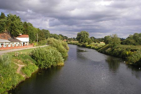
Caption - River Dee between Holt and Farndon. The river Dee marks the boundary of England, on the left, and Wales on the right.
Walk 3535 : River Dee from Farndon
Photographer : Richard Slessor
Use back button to return to the photo gallery lists.
Further Information
Location Map
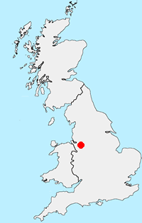
Cheshire
The County of Cheshire offers a range of walks to suit all abilities. The Sandstone hills between Frodsham and Helsby offer fine walks with some excellent views across the Mersey Estuary. The flat land of the Cheshire Gap is dominated by pleasant rural farmland and easy walking. To the east of the county the land rises to the western moors of the Peak District National Park including the highest point at Shining Tor (559 metres) on the boundary with Derbyshire. It is in this area that most of the more challenging walks can be found with wild country and superb panoramas from the high ground.
Messaging & Social Media
Message Walking Britain and follow the latest news.

Mountain Weather
Stay safe on the mountains with detailed weather forecasts - for iOS devices or for Android devices.