The Rumps & Pentire Point Walk
Walk 2462 - Route Maps
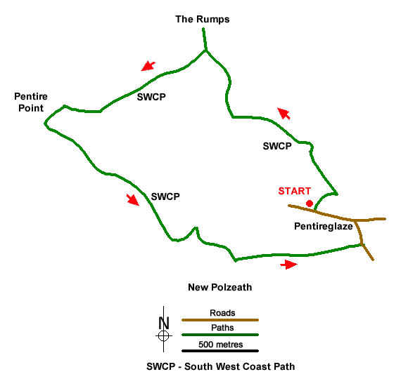
Route Map
Digital Maps - Copyright © 2011-2024. All rights reserved.
Sketch Map
Suggested Maps 

| Ordnance Survey Explorer 106 | Sheet Map | 1:25k | BUY |
| Anquet OS Explorer 106 | Digital Map | 1:25k | BUY |
It is recommended you take a map. The preferred scale is 1:25k.
Start Point Details
Ordnance Survey Grid Ref SW941800
Latitude 50.583345 Longitude -4.909865
Postcode PL27 6QY
what3words start lanes.sunblock.narrowest
Walk description may contain detailed information on the start point for this walk.
Further Information
Cornwall AONB
This National Landscape (formerly AONB) is split into many small fragments. It contains some of Britain's finest coastal scenery, including Land's End and the Lizard peninsula. In addition Cornwall's highest moorland around Bodmin is also included in this very varied and historically interesting area. Cornwall AONB Walking Guide
Cornwall
With a long and varied coastline Cornwall offers walkers many wonderful walks using sections of the South West Coast Path National Trail. In places the coastal scenery is very rugged and the walking often quite strenuous. Inland the moors of West Penwith and Bodmin offer a dramatic change of scenery to that encountered on the coast. Further interest is added by pretty villages and harbours, industrial archaeology, mostly focused on the former tin mines, and some outstanding archaeology sites especially in the moorland areas.
Walk grading - Learn how each walk is assessed and select a walk to suit your ability and experience by going to Walk Grading Details.
Messaging & Social Media
Message Walking Britain and follow the latest news.

Mountain Weather
Stay safe on the mountains with detailed weather forecasts - for iOS devices or for Android devices.