View north-east from the summit of Housey Crags, Northumberland
Walk Photo 215301
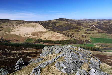
Caption - Looking down on the Langleeford by the Harthope Burn. On the far side of the valley, New Burn and Hawsen Burn drain the slopes of Blackseat Hill diagonally from left to right below the peak of Broadhope Hill.
Walk 2153 : Housey Crags from Langleeford
Photographer : Andrew Curtis
Use back button to return to the photo gallery lists.
Further Information
Location Map
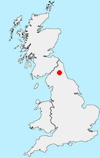
Northumberland
Walking in the Northumberland National Park covers a diverse area of landscape between the Tyne and the Scotland England border. The highest point within the National Park is the Cheviot and besides this famous hill there are many other notable summits. The valleys are also of interest to walkers, although some have restricted access. More Information
Messaging & Social Media
Message Walking Britain and follow the latest news.

Mountain Weather
Stay safe on the mountains with detailed weather forecasts - for iOS devices or for Android devices.