Ruined barn at Ashfold Side, Nidderdale AONB
Walk Photo 226101
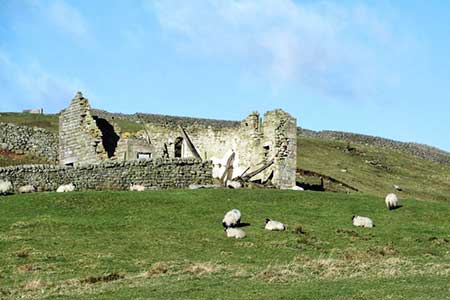
Caption - Ruined barn at Ashfold Side, Nidderdale AONB. Since the photo was taken the old barn has lost more of its stonework.
Walk 2261 : Pateley Bridge & Nidderdale Way
Photographer : Derek Harper
Use back button to return to the photo gallery lists.
Further Information
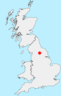
Location Map
Nidderdale AONB
The Nidderdale National Landscape (formerly AONB) is an area of natural beauty in North Yorkshire sharing its western border with the Yorkshire Dales National Park to the east and south. The AONB includes most of Nidderdale itself, part of lower Wharfedale, the Washburn valley and part of lower Wensleydale. The highest land is Great Whernside which rises to 704 metres above sea level on the border with the Yorkshire Dales National Park. Pateley Bridge is the only town with Otley, Ilkley, Masham and Ripon just outside the borders. More Information
Messaging & Social Media
Message Walking Britain and follow the latest news.

Mountain Weather
Stay safe on the mountains with detailed weather forecasts - for iOS devices or for Android devices.