Walk 1695 - printer friendly version
Flouch & Winscar circular Walk
Author - Andy Chaplin
Length - 9.0 miles / 14.6 km
Ascent - 800 feet / 242 metres
Grade - easy/mod
Start - OS grid reference SE201010
Lat 53.5053100 + Long -1.6984210
Postcode S36 9FD (approx. location only)
The Peak District walk described here starts at the Yorkshire Water car park (grid ref. SE201010) just south of the Flouch roundabout and is initially the same as Walk 1401. It covers a circuit that is north and west of Flouch and includes sections parallel to the Woodhead Road and comes back along the old Woodhead railway line, so the route may not be for everyone. On the plus side you get to see the old Woodhead line tunnel entrance, Winscar reservoir and part of the upper Don River valley.
Leave the car park at the south end, cross the road and go down a track through Langsett Woods on Brook House lane. After 400 metres, where the main track goes left, go down a few yards to the right to a signpost and then follow the middle path which is marked as a bridleway to Swinden. The stream is on your right and you come out of the woods at a gate and then follow a walled bridleway.
Continue along this bridleway and take the right hand route at a junction after a further 200 metres. This is Swinden Lane which leads to a stile into open country (grid ref. SE184008). Cross the stile and take the track on your right up to the A628, Woodhead Road. There is a path on the verge up to the Dog & Partridge where you cross over onto the Snow Road track.
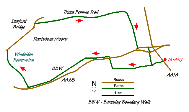
The path climbs up towards and around South Nab then turns off right towards Upper Windledon Reservoir. There are good views down to Dunford Bridge and the Barnsley Boundary Walk (which we are following) takes the road down to the Woodhead tunnels.
At Dunford Bridge take the old railway track east towards Hazlehead. It is easy walking all the way to Cote Bank Bridge. Go off left to cross over the bridge to pick up the path leading south towards Swinden. It is an interesting diversion at Cote Bank Bridge to go down to the Don on the sunken, walled and paved path.
At the old Woodhead road turn left then take the path south to the new Woodhead road, cross over and take the path south through the wood back to the almost-four-fingered signpost and then back to the car park.
Messaging & Social Media
Message Walking Britain and follow the latest news.

Mountain Weather
Stay safe on the mountains with detailed weather forecasts - for iOS devices or for Android devices.