St Margaret's at Cliffe from Kingsdown Walk
Walk 2381 - Route Maps
Route Map
Digital Maps - Copyright © 2011-2024. All rights reserved.
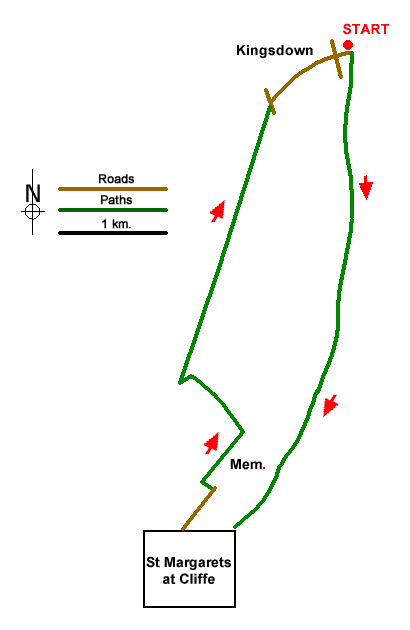
Sketch Map
Suggested Maps 

| Ordnance Survey Explorer 138 | Sheet Map | 1:25k | BUY |
| Anquet OS Explorer 138 | Digital Map | 1:25k | BUY |
It is recommended you take a map. The preferred scale is 1:25k.
Start Point Details
Ordnance Survey Grid Ref TR380485
Latitude 51.186145 Longitude 1.404374
Postcode CT14 8AG
what3words start cemented.dwelled.breeding
Walk description may contain detailed information on the start point for this walk.
Further Information
Walk grading - Learn how each walk is assessed and select a walk to suit your ability and experience by going to Walk Grading Details.
Messaging & Social Media
Message Walking Britain and follow the latest news.

Mountain Weather
Stay safe on the mountains with detailed weather forecasts - for iOS devices or for Android devices.