Hadrian's Wall and Haughton Common Walk
Walk 2803 - Route Maps
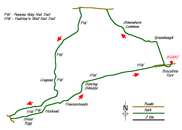
Route Map
Digital Maps - Copyright © 2011-2024. All rights reserved.
Sketch Map
Suggested Maps 

| Ordnance Survey Explorer OL43 | Sheet Map | 1:25k | BUY |
| Anquet OS Explorer OL43 | Digital Map | 1:25k | BUY |
| Ordnance Survey Landranger 87 | Sheet Map | 1:50k | BUY |
| Anquet OS Landranger 87 | Digital Map | 1:50k | BUY |
It is recommended you take a map. The preferred scale is 1:25k.
Start Point Details
Ordnance Survey Grid Ref NY861712
Latitude 55.035122 Longitude -2.219013
Postcode NE46 4DB
what3words start scorpions.dodging.destiny
Walk description may contain detailed information on the start point for this walk.
Further Information
Northumberland
Walking in the Northumberland National Park covers a diverse area of landscape between the Tyne and the Scotland England border. The highest point within the National Park is the Cheviot and besides this famous hill there are many other notable summits. The valleys are also of interest to walkers, although some have restricted access. Northumberland Walking Guide
Northumberland County
Northumberland is a county of contrasts. The North Sea coast offers some excellent walking and includes the island of Lindisfarne. Inland, there is some glorious countryside with the hills and moors of the Cheviots as an ever present backdrop. Historic houses, castles and villages provide added interest to many walks.
Walk grading - Learn how each walk is assessed and select a walk to suit your ability and experience by going to Walk Grading Details.
Messaging & Social Media
Message Walking Britain and follow the latest news.

Mountain Weather
Stay safe on the mountains with detailed weather forecasts - for iOS devices or for Android devices.