Udal & Aird a' Mhorain Point from Greinetobht Walk
Walk 2806 - Route Maps
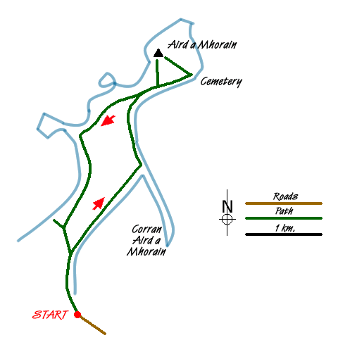
Sketch Map
Suggested Maps 

| Ordnance Survey Explorer 454 | Sheet Map | 1:25k | BUY |
| Anquet OS Explorer 454 | Digital Map | 1:25k | BUY |
It is recommended you take a map. The preferred scale is 1:25k.
Start Point Details
Ordnance Survey Grid Ref NF820754
Latitude 57.655788 Longitude -7.333637
Postcode HS6 5BP
what3words start moves.widen.choice
Walk description may contain detailed information on the start point for this walk.
Further Information
Walk grading - Learn how each walk is assessed and select a walk to suit your ability and experience by going to Walk Grading Details.
Messaging & Social Media
Message Walking Britain and follow the latest news.

Mountain Weather
Stay safe on the mountains with detailed weather forecasts - for iOS devices or for Android devices.