Trenchford & Tottiford Reservoirs (Moretonhampstead) Walk
Walk 3311 - Route Maps
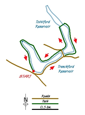
Route Map
Digital Maps - Copyright © 2011-2024. All rights reserved.
Sketch Map
Suggested Maps 

| Ordnance Survey Explorer OL44 | Sheet Map | 1:25k | BUY |
| Anquet OS Explorer OL44 | Digital Map | 1:25k | BUY |
| Ordnance Survey Landranger 191 | Sheet Map | 1:50k | BUY |
| Anquet OS Landranger 191 | Digital Map | 1:50k | BUY |
It is recommended you take a map. The preferred scale is 1:25k.
Start Point Details
Ordnance Survey Grid Ref SX804823
Latitude 50.628096 Longitude -3.69232
Postcode TQ13 9NS
what3words start toasted.ordeals.prefer
Walk description may contain detailed information on the start point for this walk.
Further Information
Dartmoor
Walking in the Dartmoor National Park is wholly contained within the boundaries of Devon and is dominated by some of the wildest upland moorland in the UK. Granite outcrops or tors are a feature of the landscape and add visual interest. Beautiful rolling countryside surrounds the high moors adding to the scenic contrasts enjoyed by visitors. With a long and varied history there is much evidence of former ages from Neolithic sites to more recent industrial heritage. Dartmoor Walking Guide
Devon
The County of Devon offers a wide range of walking. With two lengthy sections of coastal path along the north and south coasts the variety of walking on offer is hard to match anywhere in the British Isles. Add to this the wild moors of the Dartmoor National Park with the highest land in southern England and you soon realise why Devon has such a high reputation among walkers. Elsewhere there are many pretty villages to explore as well as vast tracts of rural farmland with a patchwork of fields surrounded by hedgerows.
Walk grading - Learn how each walk is assessed and select a walk to suit your ability and experience by going to Walk Grading Details.
Messaging & Social Media
Message Walking Britain and follow the latest news.

Mountain Weather
Stay safe on the mountains with detailed weather forecasts - for iOS devices or for Android devices.