The topograph at the viewpoint, Kinver Edge
Walk Photo 324107
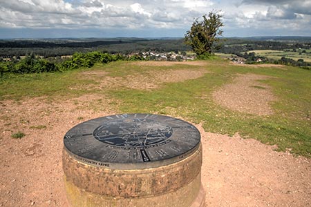
Caption - The topograph at the viewpoint at the northern end of Kinver Edge helps identify the landmarks in the wide ranging panorama.
Walk 3241 : Kinver Edge & Holy Austin Rock
Photographer : Lou Johnson
Use back button to return to the photo gallery lists.
Further Information
Location Map
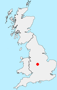
Staffordshire
The County of Staffordshire is located within the Midlands. The northern part of the county includes part of the Peak District National Park featuring both Gritstone moorland of the Dark Peak and limestone dales of the White Peak. To the south the heathlands of Cannock Chase form part of a National Landscape (formerly AONB). Elsewhere the county is predominantly rural with pleasant countryside and easy walking.
Messaging & Social Media
Message Walking Britain and follow the latest news.

Mountain Weather
Stay safe on the mountains with detailed weather forecasts - for iOS devices or for Android devices.