Walk 1481 - printer friendly version
Dale Top (Park Moor) from Lyme Park Walk
Author - Lou Johnson
Length - 6.3 miles / 10.2 km
Ascent - 650 feet / 197 metres
Grade - easy
Start - OS grid reference SJ962824
Lat 53.33848913 + Long -2.058531203
Postcode SK12 2NX (approx. location only)
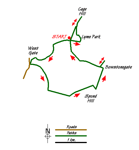
Lyme Park Country Park with its grand stately home, Lyme Hall, is a popular place for visitors. Owned by the National Trust an entrance fee is payable for parking. On arrival you will normally receive a map of the estate which is a useful reference for this walk, although the map does not contain the complete route. It does provide detailed guidance within the estate boundary.
It is assumed that you start this Peak District walk from the main car park (grid ref. SJ9628240). However at busy times you may be directed to other parking areas nearby. Toilets and refreshments are a few minutes' walk from this main car park. Having parked follow the tarmac road heading roughly west towards the Knott, where there is a further car park. Bear right off the road and follow the path alongside a stream through Pursefield Wood to reach a track close to West Parkgate (grid ref. SJ949815).
Once through the gates bear right and continue to a lane (grid ref. SJ948814). After a few metres take the track on your right. This leads you uphill towards Moorside after which you bear right to join Moorside Lane. Continue in a southwesterly direction to Keeper's Cottage (grid ref. SJ954805). Go left here following the path uphill alongside a dry stone wall on your left to reach a stile in the fence at the top.
Cross the stile and following the path/track ahead through a gate and stile without a wall or fence attached! This leads you alongside the wall, which is on your left. The way ahead is clear and there are some good views across the Lyme Park Estate on your left. The track leads you to another track near to where the wall turns sharply left (grid ref. SJ971807). Bear left along this track which is part of the Grtstone Trail. The views to Kinder Scout on your right are good.
Reaching a junction of paths (grid ref. SJ973812), turn left and enter National Trust property again. After passing through the gate, bear immediately right and follow the path up beside the wall to reach a topograph from where you have a grand view west towards the Manchester area. After enjoying the view return back to the Gritstone Trail, turn right and walk downhill on the clear path back to the car park.
Having completed the moorland section of walk, the route continues from the car park to follow the perimeter fence on the south side of the Lyme Hall. You get some good views of the stately house on this section. Reaching a junction of paths at Hampers Bridge, turn left and follow this clear path towards the main frontage of the Hall. You will see "The Cage" appear ahead and make a beeline for the path that leads to this fine vantage point. After taking in the view, return down the main path leading from The Cage and return to the main car park.
Messaging & Social Media
Message Walking Britain and follow the latest news.

Mountain Weather
Stay safe on the mountains with detailed weather forecasts - for iOS devices or for Android devices.