Hooton Pagnell circular from Brodsworth
South Yorkshire Walk
County/Area - South Yorkshire - Doncaster Rotherham
Author - Andy Chaplin
Length - 9.8 miles / 15.9 km Ascent - 600 feet / 182 metres
Time - 5 hours 30 minutes Grade - easy/mod
Walk Route Description
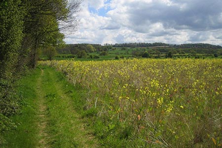
Click image to visit gallery of 3 images.
The highlights of this walk, which is located between Doncaster and Barnsley, are Brodsworth Hall (for National Trust members), Hooton Pagnell church and Butter Cross and Brodsworth Church. Parts of the walk follow field balks - an unploughed ridge marking a division on common land and now green lanes.
If you are a National Trust member then the walk can start from the Brodsworth Hall car park which is off Church Lane (grid ref. SE508071). However, there is also space to park on Pickburn Lane and this would also make the walk 0.75 mile shorter. In either case make your way to the junction of Church Lane, Pickburn Lane and Hooton Lane, go west for 100m then take the footpath off on the right.
The path heads north across fields to Hampole Wood where the visible path goes north of the first section of trees then along the east side of the wood. Leave the wood at the north east corner and head north along the eastern edge of the first field then take the track westwards along the northern edge. From here it is a bridleway heading south west to Old Street. In practice the paths follow some of the field edges.
At the junction of the bridleway with Old Street and Lenny Balk (which are both green lanes) go west for 20m on Lenny Balk then take the path north westwards to Moorhouse. After it crosses North Field Road it becomes another green lane - Stanwell Lane.
Follow Moorhouse Lane through the hamlet to Elmsall Lane then take the footpath opposite the junction and to the left of the house that is facing you. The path follows the fields, going south west with the old mine railway line to your right. Over to the north now is the site of the Frickley and South Elmsall colliery - now another country park.
Follow the path along the western edge of Hooton Pagnell wood then south to Clayton Lane. Follow the lane westwards over the old railway then take the path off on the left. This is not particularly well defined as it heads around the end of the old railway route then eastwards across the fields to Hooten Pagnell. The path comes out onto the B6422 just south of the church, so if in doubt keep heading in that direction.
Come north past the Hall then walk through the churchyard and out under the church gate then on to the Butter Cross. A path leads off eastwards along a drive that becomes Narrow Balk, crosses Lound Lane and continues eastwards towards a house.
From the house go south east, initially along the track then straight on for 50m along the line of trees. A path leads off from here southwards back to Brodsworth. There is a little loop around the remains of an old quarry before getting to the road. Turn left back to wherever you have parked. A short detour to the church can be made en-route. It is outside the perimeter of the NT Hall site.
Maps 

| Ordnance Survey Explorer 279 | Sheet Map | 1:25k | BUY |
| Anquet OS Explorer 279 | Digital Map | 1:25k | BUY |
| Ordnance Survey Digital Map Subscription | |||
| Latest Ordnance Survey Discounts | |||
Other walks nearby
| Walk 3397 | High Melton & Cusworth Hall | moderate | 12.0 miles |
| Walk 2717 | Wentworth Woodhouse and its follies | easy/mod | 7.5 miles |
| Walk 1939 | River Don & New Junction Canal from Fishlake | moderate | 12.6 miles |
| Walk 2943 | Newmillerdam Country Park from Notton | easy | 5.7 miles |
| Walk 1937 | Morthen & Upper Whiston from Ulley | easy/mod | 8.8 miles |
| Walk 2086 | Stainborough Castle, Wentworth Castle & Worsbrough | easy/mod | 8.9 miles |
| Walk 1545 | Wortley circular including Wharncliffe Crags | easy/mod | 8.1 miles |
| Walk 2825 | Silkstone Circular & Cannon Hall Country Park | moderate | 10.4 miles |
| Walk 1935 | Birley Edge & Wharncliffe Wood | easy/mod | 9.4 miles |
| Walk 2238 | Thurgoland Boundary Walk Oxspring | easy/mod | 8.6 miles |
