Ronas Hill, Mainland Walk
Walk 1863 - Route Maps
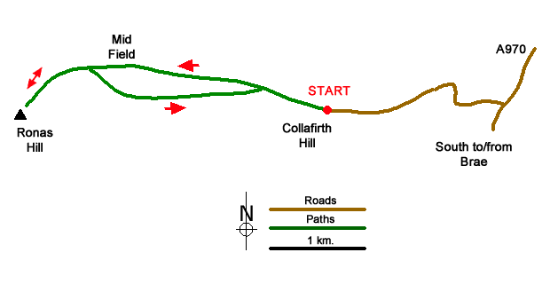
Route Map
Digital Maps - Copyright © 2011-2024. All rights reserved.
Sketch Map
Suggested Maps 

| Ordnance Survey Explorer 469 | Sheet Map | 1:25k | BUY |
| Anquet OS Explorer 469 | Digital Map | 1:25k | BUY |
| Ordnance Survey Digital Map Subscription | |||
| Latest Ordnance Survey Discounts | |||
It is recommended you take a map. The preferred scale is 1:25k.
Start Point Details
Ordnance Survey Grid Ref HU329837
Latitude 60.535533 Longitude -1.402284
Postcode ZE2 9RX
what3words start manager.bins.losing
Walk description may contain detailed information on the start point for this walk.
Further Information
Shetland Islands
The Shetland Isles are the most northerly in the United Kingdom. Mainland is the largest of the islands with a further fifteen inhabited. Shetland is home to more than 5,000 archaeological sites which date from as early as early as 4300 BC. There is also much to interest lovers of flora and fauna with numerous seabird colonies with puffins, gannets and great skuas amongst many others. Shetland's natural landscape is among the most dramatic in the world with dramatic seascapes and miles of undulating wilderness. During winter you might see the 'Northern Lights'. Given Shetland's exposed maritime position weather can be challenging at times.
Walk grading - Learn how each walk is assessed and select a walk to suit your ability and experience by going to Walk Grading Details.
Messaging & Social Media
Message Walking Britain and follow the latest news.

Mountain Weather
Stay safe on the mountains with detailed weather forecasts - for iOS devices or for Android devices.