Great Stone of Fourstones Walk
Walk 2256 - Route Maps
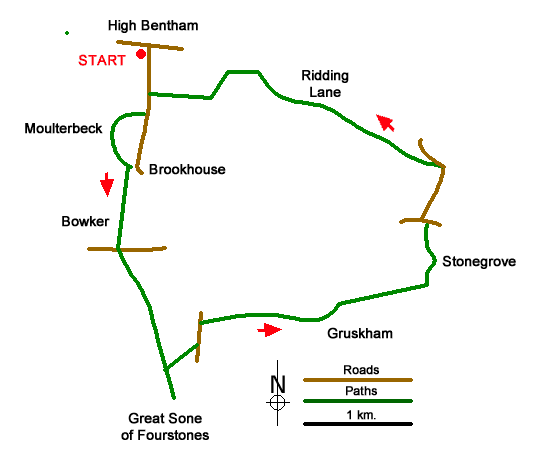
Route Map
Digital Maps - Copyright © 2011-2024. All rights reserved.
Sketch Map
Suggested Maps 

| Ordnance Survey Explorer OL2 | Sheet Map | 1:25k | BUY |
| Anquet OS Explorer OL2 | Digital Map | 1:25k | BUY |
| Ordnance Survey Explorer OL41 | Sheet Map | 1:25k | BUY |
| Anquet OS Explorer OL41 | Digital Map | 1:25k | BUY |
| Ordnance Survey Digital Map Subscription | |||
| Latest Ordnance Survey Discounts | |||
It is recommended you take a map. The preferred scale is 1:25k.
Start Point Details
Ordnance Survey Grid Ref SD668692
Latitude 54.117588 Longitude -2.509401
Postcode LA2 7LE
what3words start twists.inflating.spirits
Walk description may contain detailed information on the start point for this walk.
Further Information
Forest of Bowland
The Forest of Bowland walks cater for walkers of all abilities from easy low-level walks to walks across the hills and moors. All walks are free to download and print and all routes have GPS files. The walks cover the highlights of this area including Pendle Hill, Whin Fell and Dunsop Fell as well the valleys and moors of this beautiful part of England. Forest of Bowland Walking Guide
North Yorkshire
North Yorkshire is a large county and contains some of the finest walking in Britain. The Yorkshire Dales and North York Moors National Parks offer varied routes to suit all abilities with wonderful scenery. Outside of the two National Parks, there are many walks offering rural tranquillity and pleasant walking. The Pennine Way, Dales Way and Coast to Coast long distance paths offer excellent circular walks exploring the landscapes of this historic county.
Walk grading - Learn how each walk is assessed and select a walk to suit your ability and experience by going to Walk Grading Details.
Messaging & Social Media
Message Walking Britain and follow the latest news.

Mountain Weather
Stay safe on the mountains with detailed weather forecasts - for iOS devices or for Android devices.