Walk 2657 - printer friendly version
Bradleys Both, near Skipton Walk
Author - Allan Friswell
Length - 5.5 miles / 8.9 km
Ascent - 1000 feet / 303 metres
Grade - easy/mod
Start - OS grid reference SE000483
Lat 53.930826 + Long -2.0014867
Postcode BD20 9EN (approx. location only)
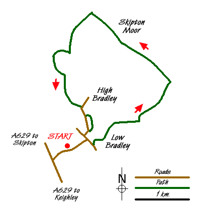
A moderately difficult walk in winter owing to the very boggy nature of much of the terrain. Meadows, moors, lots of water and stiles! From Skipton take the second turning into Bradley from the A629 along Ings Lane. Parking can be found at the village amenity site to the right just after crossing the canal (grid ref. SE000483).
Turn right from the car park into the village. At the Methodist Church turn right up Lidget Road and after a short distance turn left up College Road, forking right at the end of the surfaced road where the route becomes a bridleway. Follow this track as it bears left and begins to climb gently up the old walled route of College Lane, passing through several gates and finally going through a small copse of trees as it crosses Bradley Gill. The bridleway continues to climb with open pasture land on either side. At the top of the track go left through a metal gate. The footpath passes through a metal gate alongside a dry-stone wall. Follow the track down into a hollow, passing a bank of gorse bushes on the right hand side. The track then leads up the hill passing Lower House Farm to the left and then Higher House Farm on the right.
The track divides just after Higher House Farm, and you go left to a wooden gate just ahead. Follow the track heading slightly left, where the path arrives at two wooden gates. Our path follows to the left of the stone wall across a long field, but given the severely boggy nature of this field it may pay you to go via the right-hand gate and exit at the top by the barn. In any event at the two old redundant stone gate posts adjacent to the barn, follow the waymark arrow to the top left corner of the field. In the corner of the field take the step stile to continue up across the next field to a low stone stile at the small kink in the wall. From the stile, head along the well trodden path across the moor towards Millstone Hill where there is a waymark post. This is one of the highest points of the walk at about 1100 feet.
The path drops steeply down to cross Black Sike. Take care here. Continue up bearing left along what is normally a reasonably visible path towards the dry-stone wall, where there is another waymark post. The path then follows to the right of the wall to a stone stile. From the stone stile proceed down the hill to a waymark post, then follow the path as it swings wide to the right. When it meets a path at right angles you head left along this and it will bring you to the corner of the field and the step stile and gate. The path now bears slightly right heading down the steep slope to Jenny Gill - where it forks stay on the right-hand arm. After passing a bench on the left you arrive at a waymarker just before the stile on to the bridleway. Here (grid ref. SE004509) you must, in effect, double back on yourself, following the path upwards between thick gorse as far as a stone stile.
Turn right and follow the broad green track to a stile on the right of a gate. You then proceed left to the far corner of this field, crossing a ditch (very boggy) and a waymarker post atop the hill. The path goes over a new stone stile, just up from a gateway in the corner of the field, into the trees of Great Wood Plantation next to Cawder Gill. The path then turns right and passes through a metal field gate and continues along a grassy track away from the gill, where it meets a stone track leading from Cawder Hall Farm. Follow the track to a wooden field gate out onto a surfaced road towards Horse Close Farm. The path leads immediately left off the track and goes back through a stone stile. Here there is a white 'Skipton Urban District Council' sign. Head back straight ahead towards Cawder Gill across the field where the path drops down to a substantial new bridge.
The path now leads over the ridge ahead, crossing a small and very boggy stream up towards Gill Bottom Farm. Here follow the permissive path - go through the yard on the left of the house, exiting into a field. In the middle of the hedge / tree line on the right behind the house there is a gate, quite hard to spot. Cross the path and head left along a narrow path beside a small stream to a fence crossing point. The path goes into the field to follow to the right of the wall. Cross the wall near the field corner over a stone step stile, then head towards a stone squeeze stile hidden just to the left of a wooden gate. Follow the wall line across the field to another stone stile which brings you on to an obvious track. However you cross the field at 11 o'clock to a stone stile.
Just ahead is another stile onto New Dales Lane. Cross immediately over a stone stile off New Dales Lane and bear sharp left towards an open gateway just to the left of a Sycamore tree. Keep straight ahead crossing the wall through a stone stile in the first left corner of the field, taking in the bizarre zigzag pattern of the walls ahead before you do so. The path follows the right hand wall to the corner where a roadside signpost is visible. Cross the wall over a stone stile on to High Bradley Lane. Proceed down here and just after Langroods Farm, carefully take the narrow and usually very slippery footpath on the left towards Ghyll Farm. Continue through a wooden gate, across a small field to another gate and down a snicket. The path heads down several stone steps out on to a track, where you bear right and head down to join Mill Lane back in to the village of Low Bradley to finish the walk.
Messaging & Social Media
Message Walking Britain and follow the latest news.

Mountain Weather
Stay safe on the mountains with detailed weather forecasts - for iOS devices or for Android devices.