The River Severn from Hampton Loade to Bridgnorth Walk
Walk 2807 - Route Maps
Route Map
Digital Maps - Copyright © 2011-2024. All rights reserved.
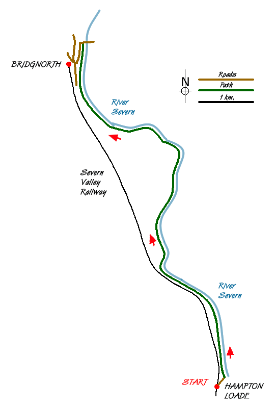
Sketch Map
Suggested Maps 

| Ordnance Survey Explorer 218 | Sheet Map | 1:25k | BUY |
| Anquet OS Explorer 218 | Digital Map | 1:25k | BUY |
| Ordnance Survey Landranger 138 | Sheet Map | 1:50k | BUY |
| Anquet OS Landranger 138 | Digital Map | 1:50k | BUY |
It is recommended you take a map. The preferred scale is 1:25k.
Start Point Details
Ordnance Survey Grid Ref SO744862
Latitude 52.473127 Longitude -2.378307
Postcode WV16 6BN
what3words start overlooks.commit.encoded
Walk description may contain detailed information on the start point for this walk.
Further Information
Shropshire
Shropshire is wonderful county for walking with the high ground concentrated in the south. The north is flat and an extension of the Cheshire Plain. In contrast, the southern half of the county contains some of the finest walking along the Welsh Borders with the Long Mynd and associated hills, Brown Clee Hill, Clun Forest and Wenlock Edge all offering many high-quality walks. To the west of the county, the Offa's Dyke National Trail runs north to south and offers the basis for many excellent circular walks.
Walk grading - Learn how each walk is assessed and select a walk to suit your ability and experience by going to Walk Grading Details.
Messaging & Social Media
Message Walking Britain and follow the latest news.

Mountain Weather
Stay safe on the mountains with detailed weather forecasts - for iOS devices or for Android devices.