Stockingdale and Muston from Hunmanby Walk
Walk 3247 - Route Maps
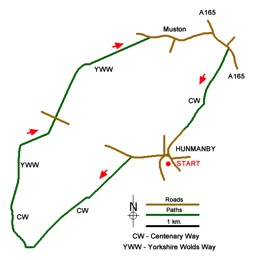
Route Map
Digital Maps - Copyright © 2011-2024. All rights reserved.
Sketch Map
Suggested Maps 

| Ordnance Survey Explorer 301 | Sheet Map | 1:25k | BUY |
| Anquet OS Explorer 301 | Digital Map | 1:25k | BUY |
It is recommended you take a map. The preferred scale is 1:25k.
Start Point Details
Ordnance Survey Grid Ref TA075774
Latitude 54.181126 Longitude -0.354336
Postcode YO14 0LE
what3words start plump.interviewer.strongly
Walk description may contain detailed information on the start point for this walk.
Further Information
Yorkshire Wolds
The Yorkshire Wolds are chalk hills that run in an arc from west of Hull to the North Sea coast south of Bridlington. At their eastern end the Wolds produce the high cliffs rising to 420 feet above the sea east of Speeton. To the south the Yorkshire Wolds continue across the River Humber to the Lincolnshire Wolds which have a similar geological character. Most of the Yorkshire Wolds lie in the county of East Yorkshire although some of the hills at western end are in neighbouring North Yorkshire. Yorkshire Wolds Walking Guide
North Yorkshire
North Yorkshire is a large county and contains some of the finest walking in Britain. The Yorkshire Dales and North York Moors National Parks offer varied routes to suit all abilities with wonderful scenery. Outside of the two National Parks, there are many walks offering rural tranquillity and pleasant walking. The Pennine Way, Dales Way and Coast to Coast long distance paths offer excellent circular walks exploring the landscapes of this historic county.
Walk grading - Learn how each walk is assessed and select a walk to suit your ability and experience by going to Walk Grading Details.
Messaging & Social Media
Message Walking Britain and follow the latest news.

Mountain Weather
Stay safe on the mountains with detailed weather forecasts - for iOS devices or for Android devices.