The Fair Mile & Unhill Bottom, near Streatley Walk
Walk 3484 - Route Maps
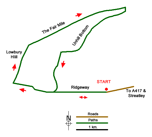
Route Map
Digital Maps - Copyright © 2011-2024. All rights reserved.
Sketch Map
Suggested Maps 

| Ordnance Survey Explorer 158 | Sheet Map | 1:25k | BUY |
| Anquet OS Explorer 158 | Digital Map | 1:25k | BUY |
| Ordnance Survey Explorer 170 | Sheet Map | 1:25k | BUY |
| Anquet OS Explorer 170 | Digital Map | 1:25k | BUY |
| Ordnance Survey Digital Map Subscription | |||
| Latest Ordnance Survey Discounts | |||
It is recommended you take a map. The preferred scale is 1:25k.
Start Point Details
Ordnance Survey Grid Ref SU567813
Latitude 51.527773 Longitude -1.184061
Postcode RG8 9QG
what3words start forest.upgrading.cleansed
Walk description may contain detailed information on the start point for this walk.
Further Information
Berkshire
The County of Berkshire is bisected by the Thames Valley with higher land rising to the north and south of this great river. The county has mane areas of woodland with trees that prefer acid soils. These include Bracknell Forest, Windsor Great Park, Crowthorne and Stratfield Saye Woods. The highest land lies along the Hampshire border to the south The highest point in the county is Walbury Hill at 297 metres above sea level. The open upland areas compete with Newmarket (Suffolk) for horse racing training and breeding. Away from the towns cereal crops are widespread. The major towns and centres of population include Ascot, Eton, Maidenhead, Newbury, Reading, Slough and Windsor.
Walk grading - Learn how each walk is assessed and select a walk to suit your ability and experience by going to Walk Grading Details.
Messaging & Social Media
Message Walking Britain and follow the latest news.

Mountain Weather
Stay safe on the mountains with detailed weather forecasts - for iOS devices or for Android devices.