The Kennet and Avon Canal Visitor Centre, Aldermaston Wharf
Walk Photo 190101
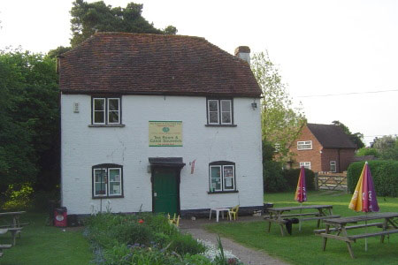
Caption - The Kennet and Avon Canal Visitor Centre, Aldermaston Wharf.
Walk 1901 : Around Aldermaston
Photographer : Peter Lane
Use back button to return to the photo gallery lists.
Further Information
Location Map
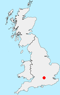
Berkshire
The County of Berkshire is bisected by the Thames Valley with higher land rising to the north and south of this great river. The county has mane areas of woodland with trees that prefer acid soils. These include Bracknell Forest, Windsor Great Park, Crowthorne and Stratfield Saye Woods. The highest land lies along the Hampshire border to the south The highest point in the county is Walbury Hill at 297 metres above sea level. The open upland areas compete with Newmarket (Suffolk) for horse racing training and breeding. Away from the towns cereal crops are widespread. The major towns and centres of population include Ascot, Eton, Maidenhead, Newbury, Reading, Slough and Windsor.
Messaging & Social Media
Message Walking Britain and follow the latest news.

Mountain Weather
Stay safe on the mountains with detailed weather forecasts - for iOS devices or for Android devices.