Cam High Road near Wether Fell
Walk Photo 236301
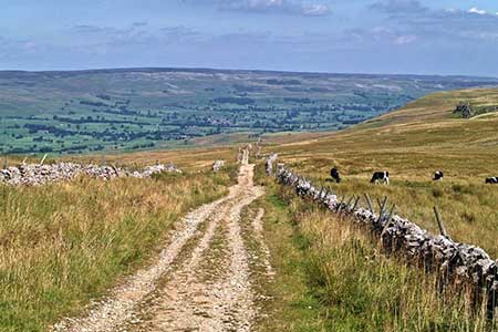
Caption - The Cam High Road (track) follows the Roman Road to Bainbridge from Common Allotments, with some cows enjoying the high pasture. On the right can be seen the rocks of Green Scar Mire.
Walk 2363 : Drumaldrace (Wether Fell) from Burtersett
Photographer : Chris McAuley
Use back button to return to the photo gallery lists.
Further Information
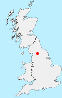
Location Map
Yorkshire Dales
Walking in the Yorkshire Dales National Park covers an extensive area, which contains a wide variety of scenic interest. Each Dale is usually named after its river although there are a few examples that don't follow this rule. The varied underlying geology is reflected in the scenery with limestone and gritstone the prominent rocks resulting in virtually every type of scenery from dry valleys to wild moorland. More Information
Messaging & Social Media
Message Walking Britain and follow the latest news.

Mountain Weather
Stay safe on the mountains with detailed weather forecasts - for iOS devices or for Android devices.