River Teith, Callander, Trossachs
Walk Photo 364701
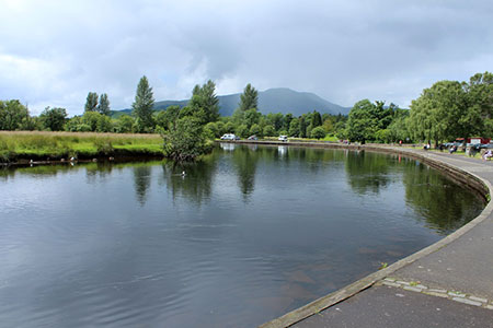
Caption - River Teith, Callander, Loch Lomond and Trossachs National Park.
Walk 3647 : Callander, Samson's Stone & Coilhallan Wood
Photographer : Billy McCrorie
Use back button to return to the photo gallery lists.
Further Information
Location Map
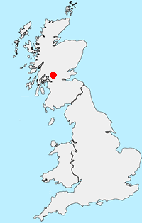
Loch Lomond and Trossachs
Walking in the Loch Lomond and the Trossachs National Park, which covers some 720 sq miles (1,865 sq km), offers some of the finest scenery in Scotland. Inaugurated in 2002, this National Park lies within an hour's drive of 70% of Scotland's population. From rolling lowland landscapes in the south to high mountains in the north, there are many lochs and rivers with forests and woodlands adding variety to the landscape. Today it is a working landscape and there is much of interest charting past mans' activities. More Information
Messaging & Social Media
Message Walking Britain and follow the latest news.

Mountain Weather
Stay safe on the mountains with detailed weather forecasts - for iOS devices or for Android devices.