River Arrow Scene, Studley
Walk Photo 371601
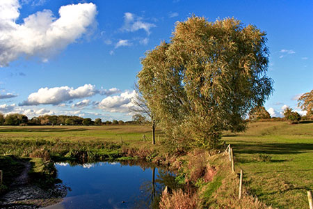
Caption - A view of a bend in the River Arrow, taken from the footbridge on the floodplain below the church near Studley, Warwickshire.
Walk 3716 : Morton Bagot & Bannam's Wood from Studley
Photographer : Paul Buckingham
Use back button to return to the photo gallery lists.
Further Information
Location Map
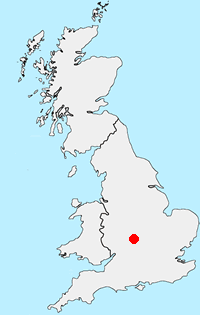
Warwickshire
The county of Warwickshire is in the English Midlands. The north and centre of the county are the areas with the highest population density. The north offers undulating countryside in contrast to the largely rural and sparsely populated south, which contains a small section of the Cotswolds. The highest point in the county, at 261 m (856 ft), is Ebrington Hill, on the border with Gloucestershire. The featured walks include sections of the Millennium Way and Heart of England Way.
Messaging & Social Media
Message Walking Britain and follow the latest news.

Mountain Weather
Stay safe on the mountains with detailed weather forecasts - for iOS devices or for Android devices.