Walk 1736 - printer friendly version
Langdale Pikes and High Raise FROM New Dungeon Ghyll Walk
Author - Lou Johnson
Length - 6.1 miles / 9.9 km
Ascent - 2400 feet / 727 metres
Grade - mod/hard
Start - OS grid reference NY296064
Lat 54.448099 + Long -3.0871875
Postcode LA22 9JX (approx. location only)
The Langdale Pikes are one of the many highlights in Great Langdale. Their easily recognised tops come into view as you enter the valley from Ambleside along the B5343 from Skelwith Bridge and Elterwater. This Lake District walk includes the following Wainwrights - Loft Crag, Pike of Stickle, Harrison Sickle, Thunacar Knott, High Raise and Sergeant Man with the option of including Blea Rigg. The walk initially follows well-trod paths however route-finding can be problematic from Thunacar Knott to High Raise and down to Stickle Tarn. A 1:25000 map is a useful accessory on this section. In mist good compass skills will be required.
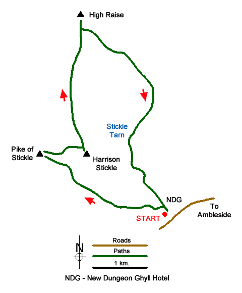
The start is the pay and display car park at New Dungeon Ghyll (grid ref. NY296064). Note that this area is very busy with walkers so parking space may be at a premium. Exit the car park using the entrance in front of the toilets. Turn left and take path through a gate and then through a hole in a stone wall. Shortly after bear left following a path to reach a gate. Go through the gate and turn immediately right. Follow ascending path with wall on your right. Continue up to cross a stile and turn left over a steam to follow the uphill path.
Reaching a Y-junction marked by a large cairn (grid ref. NY279071), bear left and walk north-west. After about 150 metres (grid ref. NY277072) go left and make the short diversion to reach the summit of Loft Crag. After enjoying the excellent view, return to the main path and continue to the next junction of paths. Go left and continue to the summit of Pike of Stickle where the final section is an easy scramble.
Descend from Pike of Stickle using the approach path and descend east along the cairned path. At a large cairn bear left along a grassy path to reach a cross path with a cairn. Turn right and walk up to the summit of Harrison Stickle. Retrace your steps back to the junction and continue north to arrive at Thunacar Knott (grid ref. NY279079). The next section requires care in poor visibility. Continue north on less well-defined path to pass a small tarn and follow a broad ridge. The path initially descends but eventually starts to climb leading you to the summit of High Raise with its trig column and wind shelter (grid ref. NY281095).
From the summit, turn south-east to a small tarn and the follow the ill-defined path initially along a line of old fence posts. The path veers away from the old fence line and joins a stony path that leads to the summit of Sergeant Man (grid ref. NY286089). Descend north-east for a short way and then turn right and continue path to reach a junction (grid ref. NY292084). From here you can continue south-east to Blea Rigg if desired. To continue the route head south-south-west on intermittent paths to reach the shore of Stickle Tarn.
Continue along the shore (with tarn to your right) to reach the outflow. Cross Stickle Ghyll and turn left descending alongside the stream. The path crosses the ghyll and descends to a stile. Cross the stile, re-cross the ghyll on a bridge and follow the descending path back to the start.
Messaging & Social Media
Message Walking Britain and follow the latest news.

Mountain Weather
Stay safe on the mountains with detailed weather forecasts - for iOS devices or for Android devices.