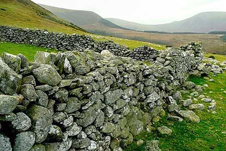
Yr Orsedd ridge from near Bont Newydd
Snowdonia/Eryri Walk
Nat Park - Snowdonia - Eastern Carneddu
County/Area - Gwynedd & Conwy
Author - Lou Johnson
Length - 4.8 miles / 7.8 km Ascent - 1400 feet / 424 metres
Time - 3 hours 50 minutes Grade - moderate
Walk Route Description
Click image to see photo description.
The Yr Orsedd ridge, with four minor summits, offers a short but energetic walk in the Northern Carneddau. The route follows good tracks for much of the way although once on the ridge paths are feint and a good sense of direction is required. The area covered is littered with ancient cairns which are marked on the relevant OS map. Once on the ridge the views inland include some higher peaks of the Carneddau. Looking north the panorama includes the Menai Straits and Anglesey.
The start is a small parking area (grid ref. SH676716) at the end of the lane from the A55 at Abergwngregyn that heads inland through past Aber Falls. After parking exit the car park and follow a path with a wall on your left. Pass through a metal kissing gate and continue ahead beside the wall to join a track. Continue up the track and bear right under the power lines.to continue along the North Wales Path. After two kilometres of steady uphill walking, you reach a track junction with a four-way fingerpost (grid ref. SH693722).
Turn right, signed to Drum, and follow the rising track. As you climb, the Yr Orsedd ridge rises on your right with final top of Pen Bryn-du (557 m.) being the first objective. At a suitable point, near where the shoulder starts to lose height, bear right off the track and follow sheep trods up to the rocky summit of Pen Bryn-du from where the next objective, Yr Orsedd (559 m.), is in view. Head along a grassy path initially northwest, descend to a shallow col, and head uphill to the summit ridge. Follow the crest of the ridge across Yr Orsedd, descend to a col and climb to the summit of Foel-ganol (536 m.). This top, in my opinion, offers the best view.
A steepish descent leads down to a col and short ascent onto the final top of the ridge, Foel Dduarth (approx. 440 m.). The south face of the ridge has some crags, so the best line of descent is to leave Foel Dduarth in a north-easterly direction. As you descend across the face of the hill you can see a substantial sheep pen below. This is the next objective. Maintaining the northeast trend, you will soon meet a path descending towards the sheep pen. Turn left, downhill, and continue to the left of the pen. After passing the pen, you reach a clear path Turn left and continue down to a track (grid ref. SH678717). Turn right and drop down to the power lines from where you retrace your steps to the start.
Maps 

| Ordnance Survey Explorer OL17 | Sheet Map | 1:25k | BUY |
| Anquet OS Explorer OL17 | Digital Map | 1:25k | BUY |
| Ordnance Survey Digital Map Subscription | |||
| Latest Ordnance Survey Discounts | |||
Other walks nearby
| Walk 3020 | Aber Falls, Foel-fras & Drum | mod/hard | 9.0 miles |
| Walk 3021 | Northern Carneddau | mod/hard | 12.0 miles |
| Walk 2547 | Carnedd Llewelyn from near Rowen | mod/hard | 12.0 miles |
| Walk 3061 | Eastern Carneddau from near Rowen | mod/hard | 10.5 miles |
| Walk 2497 | Druid Circle, Moelfre and Foel Lus from Penmaenmawr | easy/mod | 6.0 miles |
| Walk 2833 | Moel Faban, Gyrn & Moel Wnion from Rachub | easy/mod | 5.0 miles |
| Walk 3051 | Yr Elen from Gerlan | hard | 6.5 miles |
| Walk 3052 | Yr Elen & Carnedd Dafydd from Gerlan | hard | 9.0 miles |
| Walk 2115 | Yr Elen, Carnedd Llewellyn & Carnedd Dafydd | hard | 9.5 miles |
| Walk 1315 | Drosgl and Gyrn Wigau from Rachub | moderate | 7.5 miles |
Recommended Books & eBooks
The Cambrian Way
 Guidebook to the Cambrian Way, a challenging three-week mountain trek through Wales from Cardiff to Conwy. The 470km un-waymarked route is presented from south to north. Often sticking to long, beautiful ridgelines, it crosses wild and rugged terrain and visits many of Wales's highest mountains, including Snowdon.
More information
Great Mountain Days in Snowdonia
 Inspirational guidebook to 40 great mountain day walks and scrambles in Snowdonia. Inspirational routes for all abilities across the National Park with routes up Snowdon and Moel Eilio, the Glyderau, the Carneddau, Eifionydd, Siabod and the Moelwynion, Rhinogydd (the Harlech Dome), Migneint and the Arans and Cadair Idris and the Tarrens.
More information
