Gorllwyn circuit, Elan Valley Walk
Walk 2498 - Route Maps
Route Map
Digital Maps - Copyright © 2011-2024. All rights reserved.
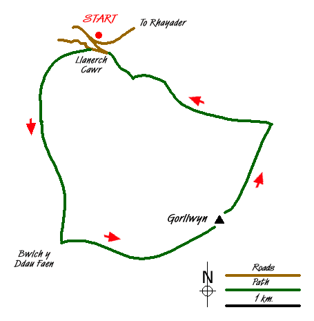
Sketch Map
Suggested Maps 

| Ordnance Survey Explorer 200 | Sheet Map | 1:25k | BUY |
| Anquet OS Explorer 200 | Digital Map | 1:25k | BUY |
| Ordnance Survey Digital Map Subscription | |||
| Latest Ordnance Survey Discounts | |||
It is recommended you take a map. The preferred scale is 1:25k.
Start Point Details
Ordnance Survey Grid Ref SN901616
Latitude 52.241579 Longitude -3.610965
Postcode LD6 5HF
what3words start kind.finger.ballooned
Walk description may contain detailed information on the start point for this walk.
Further Information
Cambrian Mountains
The Cambrian Mountains are a wild and empty plateau lying between the Snowdonia and Brecon Beacons National Parks. They are Wales' fourth national park in-waiting; designated in 1972, the Park was later cheated of recognition and protection, by an unholy alliance of landowners and politicians. Cambrian Mountains Walking Guide
Powys
Powys is a large county in east and central Wales, bordering England. The county features a rugged landscape of valleys and mountains, including most of Brecon Beacons National Park. The valley lowlands contrast with the highlands which include the Radnor Forest, the Black and Berwyn mountains, and the Brecon Beacons. The Offa's Dyke long distance path crosses the county on the eastern border with England. The county offers a wide range of walking from gentle valley paths to adventurous mountain walks.
Walk grading - Learn how each walk is assessed and select a walk to suit your ability and experience by going to Walk Grading Details.
Messaging & Social Media
Message Walking Britain and follow the latest news.

Mountain Weather
Stay safe on the mountains with detailed weather forecasts - for iOS devices or for Android devices.